
Area 373.4 km² | Time zone BST (UTC+6) | |
 | ||
Website shailkupa.jhenaidah.gov.bd | ||
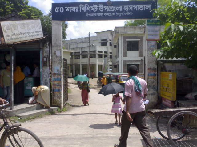
Shailkupa (Bengali: শৈলকুপা) is an Upazila of Jhenaidah District in the Division of Khulna, Bangladesh.
Contents
Map of Shailkupa, Bangladesh
Geography
Shailkupa is located at 23.6917°N 89.2500°E / 23.6917; 89.2500 . It has 51, 595 households and a total area of 373.42 km².
Demographics
As of the 1991 Bangladesh census, Shailkupa has a population of 293341. Males constitute 51.43% of the population, and females 48.57%. This Upazila's eighteen up population is 151516. Shailkupa has an average literacy rate of 66.3% (7+ years), and the national average of 32.4% literate.
Administration
Shailkupa has 15 unions, 211 Mauzas/Mahallas, and 258 villages. Karcher Kole union is the bigger union of Shailkupa Upazila.The largest union in shailkupa is Umedpur holding no.13.The river gorai flows in north-east side of Shailkupa but the main town is on the river Kumar.