
Postal code 7300 | Time zone BST (UTC+6) Area 467.8 km² | |
 | ||
Website Official Map of Jhenaidah Sadar | ||
Jhenidah Sadar (Bengali: ঝিনাইদহ সদর) is an Upazila of Jhenaidah District in the Division of Khulna, Bangladesh.
Contents
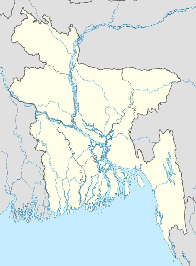
- Map of Jhenaidah Sadar Upazila Bangladesh
- Geography
- Demographics
- Points of interest
- Administration
- Transport
- References
Map of Jhenaidah Sadar Upazila, Bangladesh
Geography
Jhenidah Sadar is located at 23.5417°N 89.1833°E / 23.5417; 89.1833 . It has 60354 households and total area 467.75 km².
Demographics
As of the 1991 Bangladesh census, Jhenidah Sadar has a population of 333192. Males constitute 51.47% of the population, and females 48.53%. This Upazila's eighteen up population is 171090. Jhenidah Sadar has an average literacy rate of 27.5% (7+ years), and the national average of 32.4% literate.
Points of interest
Naldanga Temple Complex:, in the jhenaidah Upazila, is a temple complex built in 1656 by Maharaj Indranarayan Debroy. There are a total of six temples now. The government restored all of them in 1980 but they were destroyed again during the riot and now most of them are in ruins. Renovations are still going on. The idol of goddess Kali was from Banaras, India.
Administration
Jhenidah Sadar has 20 Unions/Wards, 295 Mauzas/Mahallas, and 283 villages.