
Website [1] | Time zone BST (UTC+6) Area 310.2 km² | |
 | ||
Kaliganj (Bengali: কালীগঞ্জ (ঝিনাইদহ)) is an Upazila of Jhenaidah District in the Division of Khulna, Bangladesh. One of the most important business areas is Kaliganj under Jhenaidah District. It crosses between Dhaka Khulna Highway. It has the myth of Gazi Kalu Champabati, Historical mosques of Barobazar, the largest banyan tree in Asia & the flow of Chitra & Begobati.
Contents
- Map of Kaliganj Upazila Bangladesh
- Geography
- Demographics
- Economy
- Points of interest
- Administration
- List of Union Councils
- Education
- References
Map of Kaliganj Upazila, Bangladesh
Geography
Bethuli, Kaliganj is located at 23.4139°N 89.1333°E / 23.4139; 89.1333 . It has 38,339 households and a total area of 310.16 km².
Demographics
As of the 1991 Bangladesh census, Kaliganj had a population of 219,126. Males constituted 51.76% of the population, and females 48.24%. The population aged 18 or older was 112,587. Kaliganj has an average literacy rate of 29.7% (7+ years), compared to the national average of 32.4%.
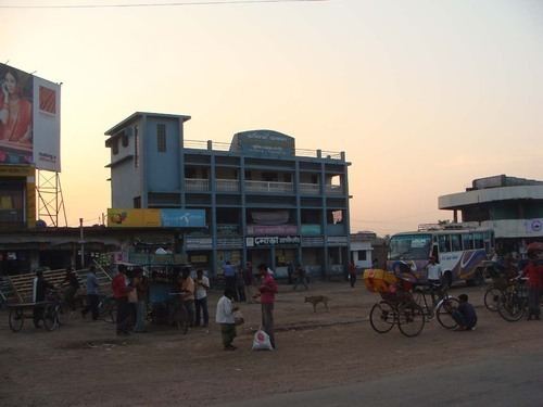
Economy
Points of interest
Administration
Kaligonj Upozilla is known as Jhenaidah-4 in Parliament of Bangladesh. Kaliganj has 11 Unions, 9 Wards, 206 Mauzas/Mahallas, and 196 villages. Member of Parliament :
- Mr. Anoarul Azim Anar, MP (5 January 2014 – present) in 10th General Election
- Mr. Abdul Mannan, MP (2009–2014) in 9th General Election
- Mr. Shahidul Islam Baltu, MP (1991–1996, February 1996 – June 1996, 1996–2001, 2001–2006) in 5th to 8th General Election
List of Union Councils
The following union councils are in Kaliganj:
- Sundorpur-Durgapur Union
- Jamal Union
- Kola Union
- Niamotpur Union
- Simla Rokonpur Union
- Trilochonpur Union
- Raigram Union
- Maliat Union
- BaroBazar Union
- Kastovanga Union
- Rakhalgasi Union
Education
* Iswarba dakhil madrasha, One-ten class, Hedmaster : Md. jamat ali