
Country United States Elevation 212 m Local time Sunday 10:59 PM | GNIS feature ID 453169 Area 93.73 km² Population 585 (2010) | |
 | ||
ZIP codes 46978, 46985, 47926, 47950, 47960 Weather 12°C, Wind SW at 24 km/h, 61% Humidity | ||
Cass Township is one of twelve townships in White County, Indiana, United States. As of the 2010 census, its population was 585 and it contained 228 housing units.
Contents
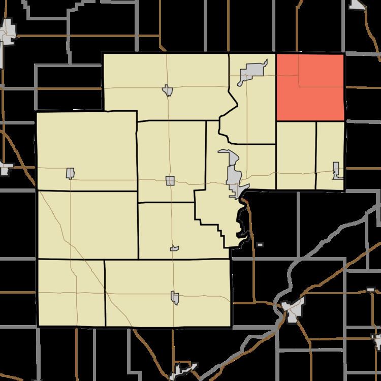
- Map of Cass Township IN USA
- Geography
- Unincorporated towns
- Adjacent townships
- Cemeteries
- School districts
- Political districts
- References
Map of Cass Township, IN, USA
Cass Township was established in 1848. The township was named for Gen. Lewis Cass, Governor of Michigan Territory.
Geography
According to the 2010 census, the township has a total area of 36.19 square miles (93.7 km2), all land.
Unincorporated towns
(This list is based on USGS data and may include former settlements.)
Adjacent townships
Cemeteries
The township contains Bell Center Cemetery.
School districts
Political districts
References
Cass Township, White County, Indiana Wikipedia(Text) CC BY-SA