
Country United States GNIS feature ID 453380 Area 91.92 km² Population 802 (2010) | FIPS code 18-31666 Elevation 243 m Local time Friday 3:11 AM | |
 | ||
Weather -1°C, Wind SE at 10 km/h, 72% Humidity | ||
Harrison Township is one of fourteen townships in Cass County, Indiana. As of the 2010 census, its population was 802.
Contents
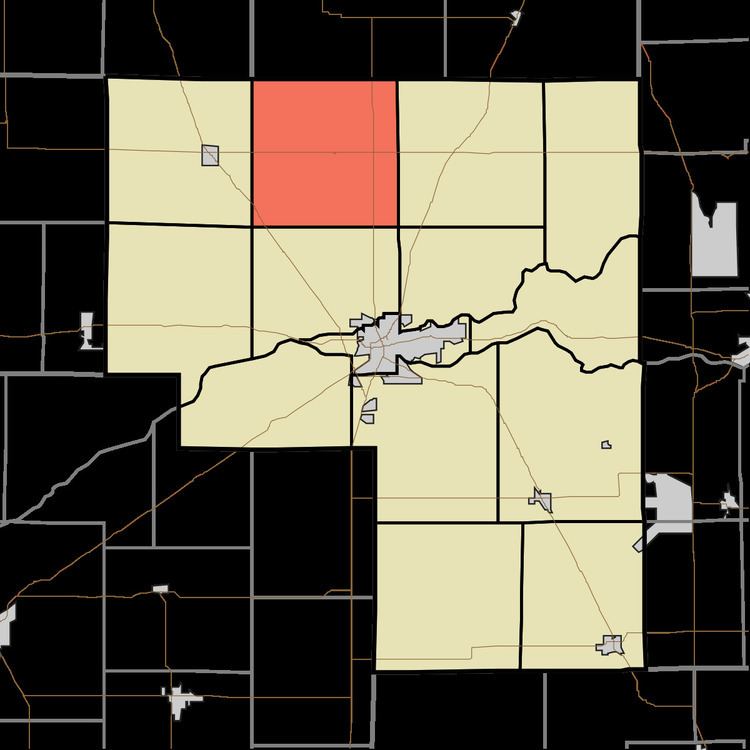
- Map of Harrison Township IN USA
- History
- Geography
- Unincorporated towns
- Adjacent townships
- Major highways
- Cemeteries
- References
Map of Harrison Township, IN, USA
History
Harrison Township was organized in 1836. It was named for William Henry Harrison, who had served as Governor of the Indiana Territory, congressman, senator, and who would afterward serve as the ninth President of the United States.
Geography
Harrison Township covers an area of 35.49 square miles (91.9 km2), all land.
Unincorporated towns
Adjacent townships
Major highways
Cemeteries
The township contains four cemeteries: Crooked Creek, Grant, Old Indian Creek and Saint Elizabeth.
References
Harrison Township, Cass County, Indiana Wikipedia(Text) CC BY-SA