
County Clay FIPS code 18-02368 Elevation 201 m Local time Sunday 8:30 AM | State Indiana GNIS feature ID 447632 Zip code 47834 | |
 | ||
Weather -5°C, Wind SE at 13 km/h, 73% Humidity | ||
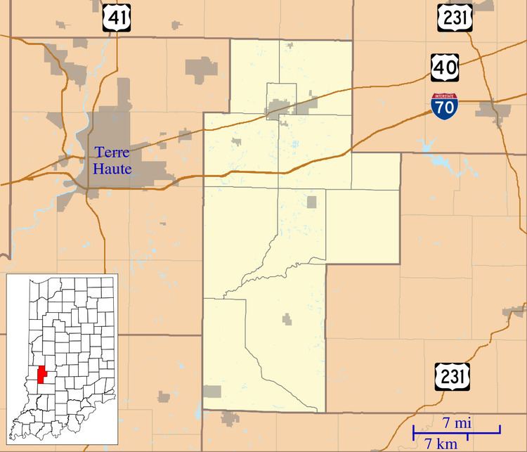
Asherville is an unincorporated community in Jackson Township, Clay County, Indiana. It is part of the Terre Haute Metropolitan Statistical Area.
Contents
Map of Asherville, IN 47834, USA
History
Asherville was laid out in 1873 by John Asher. A post office was established at Asherville in 1873, and remained in operation until it was discontinued in 1912.
Geography
Asherville is located at 39°28′29″N 87°03′44″W.
References
Asherville, Indiana Wikipedia(Text) CC BY-SA