
Country United States County Clay GNIS feature ID 453943 Local time Friday 10:33 PM | State Indiana FIPS code 18-78416 Elevation 208 m Population 3,528 (2010) | |
 | ||
Weather 5°C, Wind NW at 14 km/h, 85% Humidity Area 83.71 km² (83.35 km² Land / 36 ha Water) | ||
Van Buren Township is one of eleven townships in Clay County, Indiana. As of the 2010 census, its population was 3,528 and it contained 1,448 housing units.
Contents
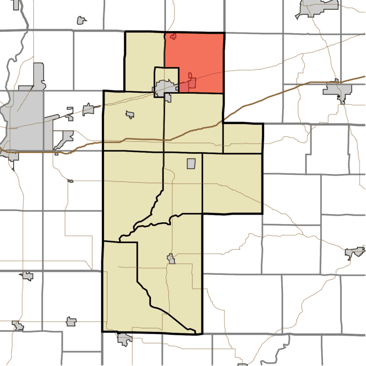
- Map of Van Buren Township IN USA
- History
- Geography
- Cities and towns
- Unincorporated towns
- Adjacent townships
- Major highways
- Cemeteries
- References
Map of Van Buren Township, IN, USA
History
Van Buren Township was established in the late 1830s. It was named for Martin Van Buren, the ninth Vice President of the United States. There is also a Dick Johnson Township in Clay County in honor of Richard Mentor Johnson, Van Buren's vice president.
Eaglefield Place was listed on the National Register of Historic Places in 1998.
Geography
According to the 2010 census, the township has a total area of 32.32 square miles (83.7 km2), of which 32.18 square miles (83.3 km2) (or 99.57%) is land and 0.14 square miles (0.36 km2) (or 0.43%) is water.
Cities and towns
Unincorporated towns
(This list is based on USGS data and may include former settlements.)
Adjacent townships
Major highways
Cemeteries
The township contains five cemeteries: Calcutta, Pell, Pell, Poff and Roberts.