
Mesoregion Sul Goiano Founded 21 July 1953 Elevation 474 m Population 6,298 (2010) | Microregion Quirinópolis Time zone BRST (UTC−3) Area 3,433 km² | |
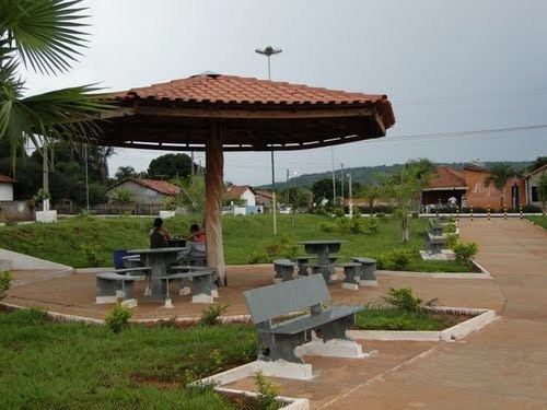 | ||
Itarumã is a municipality in south Goiás state, Brazil. In 2010, it had a population of 6,298. Itarumã is a large producer of cattle with a herd of almost three hundred thousand head.
Contents
- Map of ItarumC3A3 State of GoiC3A1s Brazil
- Location
- Demographics
- The economy
- Education and Health
- History
- References
Map of Itarum%C3%A3 - State of Goi%C3%A1s, Brazil
Location
Itarumã is located in the Quirinópolis Microregion and is connected by paved roads with Caçu, 40 kilometers to the north; and Itajá, 45 kilometers to the south. It is 366 kilometers to the state capital, Goiânia, which is connected by BR-060 / Abadia de Goiás / Guapó / Indiara / Acreúna / Rio Verde / GO-174 / GO-422 / Caçu / GO-206. See Sepin for all the distances.
Municipal boundaries are with:
Demographics
Itarumã has one district: Olaria do Angico
The economy
The economy is based on cattle raising and cultivation of soybeans, rice, corn, sugarcane, and beans. The cattle herd is one of the largest in the state with 292,000 head.
Economic Data (2007)
Main agricultural products in ha.(2006)
Farm Data (2006)in ha.
Education and Health
There were 4 schools (2006) and 1 hospital with 13 beds (2007).
History
The documented history of European settlement of Itarumã begins in 1874 when Heitor Severino built the first house of palm fronds. The village was given the name of São Sebestião da Pimenta, honoring the saint and Dona Francisca Pimenta, a rich landowner of the region. The district was created in 1901, belonging to Jataí, and on an unknown date the name was shortened to Pimenta. In 1943 the name was changed to Itarumã. In 1953 it was dismembered from Jataí and became a municipality.