
Time zone BRT/BRST (UTC-3/-2) Area 1,566 km² | Elevation 542 m (1,778 ft) Postal code 75960-000 | |
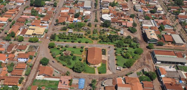 | ||
Acreúna is a city and municipality in western Goiás state, Brazil.
Contents
- Map of AcreC3BAna State of GoiC3A1s Brazil
- Location
- History
- Demographic and Political Data
- The economy
- Health
- Education
- References
Map of Acre%C3%BAna - State of Goi%C3%A1s, Brazil
Location
Acreúna is located in the statistical micro-region of Vale do Rio dos Bois, southwest of the state capital, Goiânia, on BR-060, (Brasília-Acre) which links Goiânia with Rio Verde. The distance to Goiânia is 153 kilometers via BR-060 / Guapó / Indiara. Municipal boundaries:
History
The town appeared in 1964 in the territory of the municipality of Paraúna. It was created through the initiative of Benedicto Arystogogo de Mello, who had already founded the settlements of Riverlândia, in Rio Verde, and Vila Brasil, in Santa Helena de Goiás.
Mello negotiated with a large landowner of the region to begin selling the lots. The lands were on the banks of the Rio Verdão and near the Brasília – Acre highway, which was under construction at the time.
Origin of the name
The name of the town, Acreúna, comes from a combination of Acre, final destination of the highway which crosses the town, and Una, a tribute to Paraúna, the municipality where it had been located before becoming a separate municipality.
It became a district in 1968 and, thanks to its rapid population growth and economic development, it separated from Paraúna in 1976 to become an independent municipality.
Demographic and Political Data
The economy
The economy is based on agriculture, with a great production of sugarcane, cotton, corn, and soybeans (see below). The cattle herd had 99,000 head in 2003.
Vehicles (2007)
Source: IBGE
The main agricultural products (2007)
Source: Sepin
Farm information
Health
Education
Source: IBGE
For the complete list see Frigoletto.com