
Time zone BRT/BRST (UTC-3/-2) | Elevation 469 m (1,539 ft) Area 2,251 km² | |
 | ||
Microregion Quirinópolis Microregion | ||
Caçu is a municipality in southwest Goiás state, Brazil.
Contents
- Map of CaC3A7u State of GoiC3A1s Brazil
- Location
- Geography
- Demographics
- The economy
- Health and education
- History
- References
Map of Ca%C3%A7u - State of Goi%C3%A1s, Brazil
Location
Caçu is part of the Quirinópolis Microregion. It is located 330 kilometers from the state capital of Goiânia and is crossed by highway GO-206, which links the city with Quirinópolis. It is almost directly south of Rio Verde, 99 km away.
Highway connections from Goiânia are by BR-060 / Guapó / Indiara / Acreúna / Rio Verde / GO-174/GO-422 / Aparecida do Rio Doce / BR-364/GO-206. See Sepin
Geography
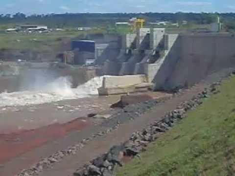
The relief of the municipality is made up of a plateau and several hills. Belonging to the Paranaíba River system, it is crossed by the Claro, Verdinho, and the Paranaíba itself. The climate is tropical with two well-defined seasons—the dry season, from May to the end of September, and the rainy season, from September to April.
The temperature varies between 18 °C and 35 °C, with an average of 25 °C; in the months of June and July the minimum temperature can fall to 0 °C, although this is rare.
Demographics
The economy
The economy is based on cattle raising and soybean growing. The region had 211,000 head of cattle including 15,900 milking cows (2006). The extensive cattle raising and mechanized agriculture provide few jobs for the local population and the population density is sparse.
Farm Data (2006)in ha.
Health and education
Ranking on the Municipal Human Development Index: 0.783
History
The region was first settled by Europeans in 1858 when two brothers, Pedro and Paulo de Sequeira, coming from Minas Gerais established themselves on the right bank of the Rio Claro. Twenty-six years later Manuel José de Castro, with other families, started the first cattle ranch called Caçu, because of the great quantity of liquorice (alcaçuz), a medicinal plant, growing in the region. The cattle ranch became a village in 1915 with the construction of a chapel. The first name was Água Fria, being built on the banks of the stream with that name. In 1924 it became a district of Jataí with the name of Caçu, achieving its municipal independence in 1953.