
Elevation 550 m (1,800 ft) Area 956.4 km² | Microregion Vale do Rio dos Bois Time zone BRT/BRST (UTC-3/-2) | |
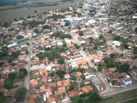 | ||
Indiara is a city and municipality in central-south Goiás state, Brazil. Indiara is a large producer of soybeans and cotton.
Contents
- Map of Indiara State of GoiC3A1s Brazil
- Location
- Political data
- Demographic data
- Ranking on the municipal Human Development Index 2000
- Economy
- Economic data for 2007
- Main agricultural activities
- Education and health
- History
- References
Map of Indiara - State of Goi%C3%A1s, Brazil
Location
Indiara is in the Vale do Rio dos Bois and has municipal boundaries with:
Indiara is 102 kilometers (southwest) from the state capital, Goiânia and is on the edge of highway BR-060 (passing through Guapó and Cezarina).
Political data
Demographic data
Ranking on the municipal Human Development Index, 2000
Economy
The economy is based on cattle raising and agriculture. There are plantations of corn, rice, and soybeans. There are several small industries producing furniture, lumber, and clothes.
Economic data for 2007
Main agricultural activities
Education and health
History
The town began with the construction of the highway between Goiânia and Cuiabá, Mato Grosso in 1958. First came a restaurant, a "churrascaria" (steakhouse), and then other people began to arrive. There was no donation of lands; the landowners created the lots themselves. The town name comes from a coconut tree, the indaiá, which grows nearby. Indiara belonged to three municipalities: Edéia, Jandaia, and Palmeira de Goiás and was dismembered to create a district and a municipality in 1983.