
 | ||
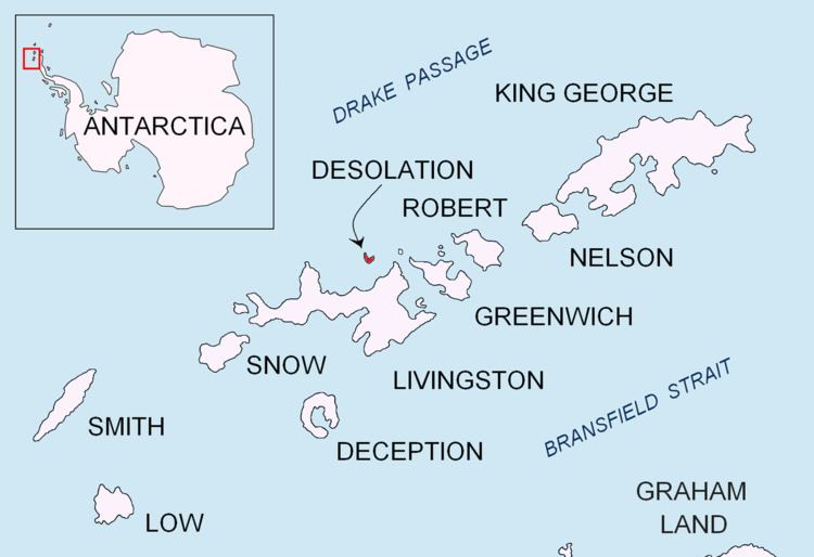
Iratais Point (Nos Iratais \'nos i-ra-'ta-is) is a point forming both the south extremity and the vertex of the V-shaped Desolation Island situated in the entrance to Hero Bay, Livingston Island, Antarctica. Separated from Miladinovi Islets to the south by Neck or Nothing Passage.
Contents
The feature is named after Kavhan (hereditary viceroy function) Iratais, governor of the southern Bulgarian Black Sea region under Khan Krum the Horrible (9th century AD).
Location
The point is located at 62°28′10″S 60°20′16″W which is 3.33 km south-southeast of Cape Danger, 10.55 km west-southwest of Williams Point, 9.75 km north-northeast of Siddins Point and 23.27 km east by south of Cape Shirreff (British mapping in 1968, and Bulgarian in 2005 and 2009).
Maps
References
Iratais Point Wikipedia(Text) CC BY-SA