
 | ||
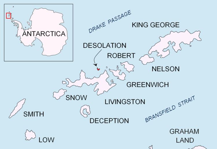
Cape Danger is the rocky point forming the northwest extremity of the ice-free Desolation Island situated in the entrance to Hero Bay, Livingston Island in the South Shetland Islands, Antarctica. The area was visited by early 19th century sealers operating from nearby Blythe Bay.
Contents
The feature was charted in 1935 by Discovery Investigations personnel and so named because of a group of sunken rocks extending from the cape.
Location
The cape is located at 62°26′38.5″S 60°22′15.3″W which is 12.13 km west of Williams Point, 3.33 km north-northwest of Iratais Point, 11.68 km north-northeast of Siddins Point and 21.6 km east of Cape Shirreff (British mapping in 1935, 1942, 1948 and 1968, Argentine in 1948, 1953 and 1954, Chilean in 1971, and Bulgarian in 2005 and 2009).