
 | ||
Hurricane at cape shirreff
Cape Shirreff is a prominent cape at the north end of the rocky peninsula which separates Hero Bay and Barclay Bay on the north coast of Livingston Island, in the South Shetland Islands of Antarctica. The cape was named by Edward Bransfield in 1820 after Captain William H. Shirreff, the British commanding officer in the Pacific at that time.
Contents
- Hurricane at cape shirreff
- Jason m giery cape shirreff complete hex flight mov
- Description
- Fauna
- Antarctic Specially Protected Area
- References
Jason m giery cape shirreff complete hex flight mov
Description
Situated on a small, 3.22 km2 (1.24 sq mi) ice-free peninsula forming the northern extremity of Ioannes Paulus II Peninsula, which is protected by the Convention on the Conservation of Antarctic Marine Living Resources Ecosystem Monitoring Programme and requires a permit to enter. It is 24 km north-east of Essex Point, 34 km west-south-west of Williams Point and 21 km north-west of Siddins Point. Lying also 809 km south-south-east of Cape Horn, Cape Shirreff is the locality in the Antarctic Treaty area that is closest to a non-Antarctic territory.
Fauna
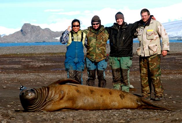
The cape has been identified as an Important Bird Area (IBA) by BirdLife International because it supports a large breeding colony of up to about 10,000 pairs of chinstrap penguins. Other birds nesting at the site in smaller numbers include gentoo penguins, kelp gulls, brown skuas, snowy sheathbills, Antarctic terns, imperial shags, Wilson's and black-bellied storm petrels, and Cape petrels. The site also contains the largest number of breeding Antarctic fur seals in the Antarctic Peninsula region.
Antarctic Specially Protected Area
The cape, with nearby San Telmo Island, has also been designated an Antarctic Specially Protected Area (ASPA 149) for the diversity of its plant and animal life, especially its penguin and fur seal breeding colonies.