
Length 2.3 km | Constructed 26 June 2014 | |
 | ||
Existed: June 26, 2014 (2014-06-26) – present | ||
Interstate 69W (I-69W) is a north–south Interstate Highway running through South Texas in the United States. The freeway begins northeast of the middle of World Trade International Bridge in Laredo and heads northward for 180 miles (290 km) before terminating near Victoria as both I-69E and I-69W merge to form I-69. For its entire length, I-69W runs concurrently with US Highway 59 (US 59).
Contents
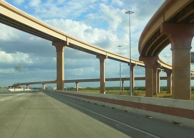
Map of I-69W, Laredo, TX, USA
Route description
The Federal Highway Administration (FHWA) approved the designation of a 1.4-mile (2.3 km) section of freeway in Laredo as part of I-69W. The congressionally designated I-69W corridor begins at the Mexican border on the World Trade International Bridge, which connects to Mexican Federal Highway 85D, at the border in Laredo. It is co-signed with both US 59 and Loop 20 (Bob Bullock Loop) and extends 1.4 miles (2.3 km) to I-35 (which connects to Mexican Federal Highway 85 south of the border).
In the future, I-69W will continue along US 59 east to George West, where it will intersect I-69C, it will then intersect I-37 east of George West, and it will then continue east to Victoria. The completed I-69W will measure 180 miles (290 km). There are also plans to turn State Highway 44 (SH 44) into an Interstate Highway between Freer, where it will intersect I-69W, and Corpus Christi, about 73 miles (117 km) in order to have a network of Interstate Highways connecting Laredo, the largest inland port on the United States–Mexican border, with Corpus Christi, a major seaport and manufacturing center.
History
The Intermodal Surface Transportation Efficiency Act of 1991 included two High Priority Corridors that would later become parts of a proposed cross-country extension of I-69:
The National Highway System Designation Act of 1995 made further amendments to the description of Corridor 18, specifying that it would serve Mississippi and Arkansas, extending it south to the Mexican border in the Lower Rio Grande Valley, and adding a short connection at Brownsville, Texas. This act also specified that Corridors 18 and 20 were "future parts of the Interstate System", to become actual Interstates when built to Interstate standards and connected to other Interstates.
The Transportation Equity Act for the 21st Century (TEA-21), enacted in 1998, greatly expanded the extension to the Lower Rio Grande Valley was detailed as splitting into two routes just south of Victoria, one following US 77 and the other following US 59 and US 281 to the Rio Grande. This act also assigned the I-69 designation to Corridors 18 and 20, with the branches on US 77, US 281, and US 59 to the Rio Grande being "Interstate 69 East", "Interstate 69 Central", and "Interstate 69 West", respectively. With TEA-21, the I-69 extension took shape, and remains today as those segments.
Exit list
The entire route is in Laredo, Webb County. All exits are unnumbered.