
Existed: 1957 – present Constructed 1957 | Length 479 km | |
 | ||
Similar Hampton Roads Bridge–Tunnel, High Rise Bridge, Monitor–Merrimac Memorial Bridge–Tunnel, Gilmerton Bridge, Jordan Bridge | ||
Interstate 64 in virginia from lexington to clifton forge
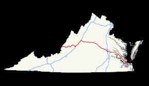
In the U.S. state of Virginia, Interstate 64 runs east–west through the middle of the state from West Virginia to the Hampton Roads region, a total of 298 miles (480 km). It is notable for crossing the mouth of the harbor of Hampton Roads on the Hampton Roads Bridge-Tunnel, the first bridge-tunnel to incorporate artificial islands. Also noteworthy is a section through Rockfish Gap, a wind gap in the Blue Ridge Mountains, which was equipped with an innovative system of airport-style runway lighting embedded into the pavement to aid motorists during periods of poor visibility due to fog or other conditions.
Contents
- Interstate 64 in virginia from lexington to clifton forge
- Alleghany County to Charlottesville
- Greater Richmond and the Virginia Peninsula
- Hampton Roads Beltway
- History
- Auxiliary routes
- Widening projects
- Peninsula
- Southside
- References
Alleghany County to Charlottesville

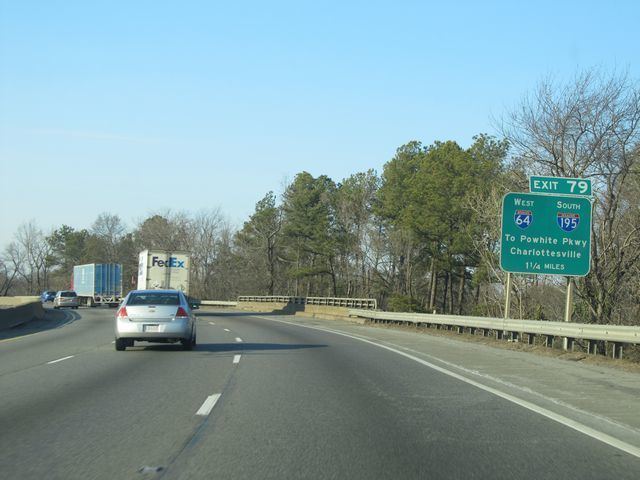
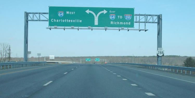
I-64 enters Virginia as a four-lane divided highway, continuing its concurrency with U.S. 60 through Covington into Lexington where the two routes split. From Lexington, I-64 then turns northward to Staunton overlapping Interstate 81 in the Shenandoah Valley. From Staunton, I-64 leaves I-81 and passes through Waynesboro and crosses Rockfish Gap and continues eastward, passing just to the south of Charlottesville, closely following the path of the historic colonial-era Three Notch'd Road, which had been established in the Colony of Virginia by the 1730s, and was largely replaced in the 1930s by U.S. Route 250. Just outside of Charlottsville in Zion Crossroads, I-64 received the state's first diverging diamond interchange at its interchange with US 15, which opened to traffic on February 21, 2014, and completed on April 15, 2014.
Greater Richmond and the Virginia Peninsula
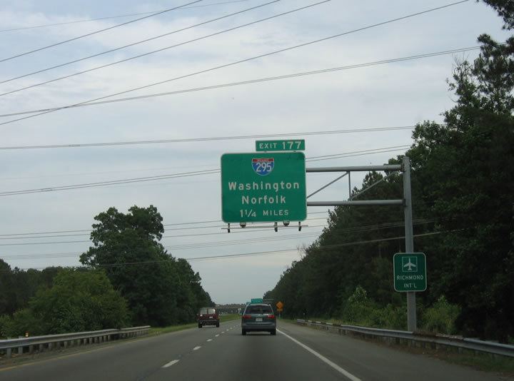
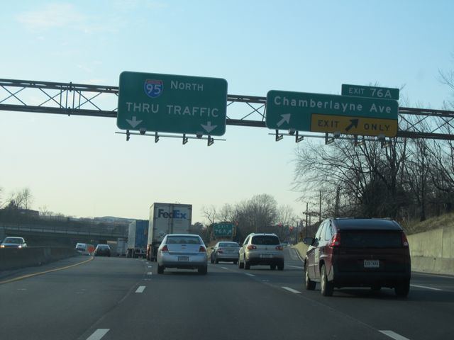
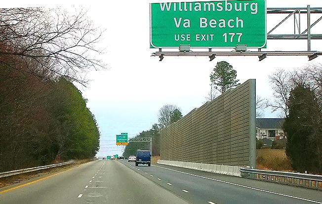
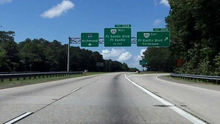
After Charlottesville, I-64 then turns more east-southeasterly and heads towards Richmond, passing through Fluvanna, Goochland and Louisa Counties. After entering Henrico County, and the Richmond Metro area, Interstate 64 interchanges and overlaps with Interstate 95 on a stretch of highway which was a part of the former Richmond-Petersburg Turnpike, passing near Downtown Richmond and through the historic African-American neighborhood of Jackson Ward. Once on the southside of Downtown Richmond, I-64 diverges from its concurrency with I-95 and continues southeasterly down the Virginia Peninsula through New Kent County and the Historic Triangle, into Newport News.
This portion of I-64 was set up by VDOT with a contraflow lane reversal system in place in the event of a mass evacuation of the Hampton Roads area region due to a hurricane or other catastrophic event. Hurricane gates are installed at eastbound Interstate 64 entrance and exit ramps from Exit 200 (Interstate 295) to Exit 273 (U.S. Route 60 east of the Hampton Roads Bridge-Tunnel), and crossover roads are in place near the aforementioned exits. To date, there has never been an activation of the contraflow system in any capacity.
Hampton Roads Beltway
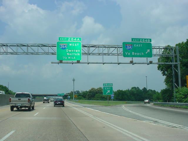
Shortly after entering its interchange with Denbigh Blvd (VA 173), I-64 enters Metro Hampton Roads and widens out to an eight-lane divided highway, continuing generally south-southeasterly into Hampton where it meets the northern terminus of Interstate 664 beginning the Inner Loop of the Hampton Roads Beltway. I-64 curves north-northeast to pass north of Downtown Hampton and cross the Hampton River, turning back southward to reach the Hampton Roads Bridge-Tunnel, which it utilizes to cross the main shipping channel at the entrance to the harbor of Hampton Roads from the Chesapeake Bay. Once on the Southside, I-64 turns south through Norfolk, passing the eastern boundary of Naval Station Norfolk and Chambers Field, and the spur route supplying it, Interstate 564. It then becomes a six lane divided highway with a two lane reversible roadway in the middle, which is used for HOV-traffic during morning and afternoon rush hours. It continues through Norfolk, curving multiple times and eventually ending up heading due south as it passes the interchange with another of its spur routes, Interstate 264 on the northwest side of Virginia Beach as it heads into Chesapeake.
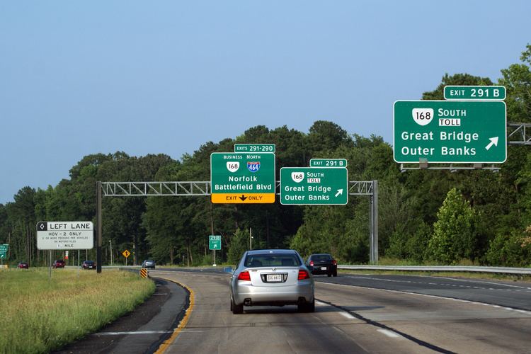
After entering Chesapeake, I-64 actually turns west-southwesterly (in the opposite direction of its signed direction of east). It is actually at this point when the road stops being signed as either east or west and is only signed with its Beltway designation of Inner or Outer Loop. After interchanging with another of its spur routes, Interstate 464, I-64 then crosses the Southern Branch of the Elizabeth River using the High Rise Bridge. The road then curves northwesterly and ends at Bowers Hill, where it meets both the western terminus of Interstate 264 and the southern terminus of Interstate 664 near the northeastern corner of the Great Dismal Swamp.
History
Early studies and proposals of the Interregional Highway System (the predecessor title of the Eisenhower Interstate System), I-64 was to use the U.S. Route 250 alignment west of Richmond. However, in the late 1950s, a number of interested citizens including Virginia Senator Mosby G. Perrow, Jr., proposed that I-64 be realigned to run along U.S. Route 220, U.S. Route 460, State Route 307, and U.S. Route 360 from Clifton Forge via Cloverdale (near Roanoke), Lynchburg, and Farmville to Richmond. This southern route was favored by Gov. J. Lindsay Almond Jr. and most members of the State Highway Commission.
The decision was on hold for three years while the state continued planning for the piece of the US 250 alignment from Richmond to Short Pump, which would be needed anyway to handle traffic. In 1961, U.S. Secretary of Commerce Luther Hodges rejected that plan and chose the present route, leaving Lynchburg as the largest city in Virginia not served by an interstate. Officially, the chosen route was considered more efficient. However, there is speculation that the decision involved "back-room" politics of the Kennedy administration.
Auxiliary routes
Interstate 64 has four auxiliary routes, all of which are in the Hampton Roads Area:
Both of the bypass routes are shorter than the main leg for through traffic - I-664 is about 15 miles (24 km) shorter than the bypassed main leg while I-264 is about a mile (1.6 km) shorter than the main leg it bypasses.
Widening projects
Two segments on I-64 have been identified as candidates for widening: I-64 on the Virginia Peninsula from New Kent County to Newport News and I-64 in South Hampton Roads from the I-464/SR 168/U.S. 17 interchange in Chesapeake to the Bowers Hill Interchange in Suffolk.
Peninsula
On the Peninsula, most of the I-64 corridor is a four lane roadway and is one of the most-traveled segments in the region, connecting the Hampton Roads Metro to the Greater Richmond region. In recent years, the corridor has become a major bottleneck for traffic, with over half of the entire 75 mile stretch having failing or near failing levels of service and continued increased safety concerns. In 2011, VDOT initiated a study that would consider widening the highway with either additional general purpose lanes in the median and/or on the outside shoulder, adding a two laned, fully reversible managed lanes (either as an tolled express lane or an HOT lane facility), or the addition of full tolling on the entire span. The approved plan selected by VDOT and partners included the plan that added an additional general purpose lane in each direction by either expanding into the median or on the outside shoulder. In June 2013, the Commonwealth Transportation Board (CTB) included $100 million in funding for the project in its Six-Year Improvement Program, allowing the project to move forward into the design and build phases. The Hampton Roads Transportation Planning Organization (HRTPO) allocated an additional $44 million to Segment I of the project to extend the boundaries beyond the Fort Eustis interchange. The project is broken down into three operationally independent segments, which are independently funded, designed and built by a different company.
Southside
Similar to I-64 west of Newport News on the Peninsula, VDOT and the HRTPO undertook environmental and preliminary engineering studies for the improvement of the 8 mile, 48 year old corridor of the I-64 from Interstate 464 in Chesapeake to the Bowers Hill Interchange. This included replacing the functionally obsolete High Rise Bridge, which was completed one year after the study corridor opened, in 1969.
This study, completed in 2013, showed that the corridor frequently performed at near-failing levels of service (LOS grades D and E), with the High Rise Bridge itself outright failing, resulting in higher crash rates when compared to other areas in the region. This is because most of the interchange ramps were built to previous interstate standards and were based on then-rural development in the Western Chesapeake and Eastern Suffolk. In addition, since the start of tolling at the Elizabeth River Tunnels, the High Rise Bridge and the corridor has received a nearly 7% increase in traffic during peak hours, further exacerbating the problem.
In March 2015, the CTB identified and approved of the addition of two lanes of capacity in each direction, with the possibility of them being either 2 HOT lanes, 1 HOV & 1 general purpose lane or all four lanes being tolled. Widening would be accomplished by adding the lanes in the median east of U.S. 17 and to the outside shoulder west of U.S. 17. The approved plan also calls for the construction of a new, four-lane 135 ft. fixed span bridge to the south of the current High Rise Bridge. Construction will be conducted in multiple phases, similar to the widening project on the Peninsula:
Once completed, the entire corridor would be an eight-lane stretch of highway, with two 135-ft fixed span bridges. Estimated costs for the entire project are currently estimated at $2.30 billion dollars. Currently, only part of first phase of the plane has been funded, which includes preliminary engineering and right of way service. A final design for the project is expected in December 2016, and a final contract award date is tentatively scheduled for August 2017.