
Length 184.7 km | ||
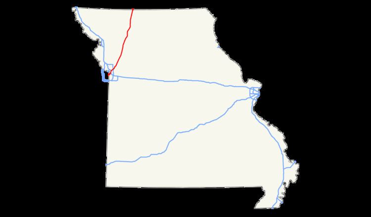 | ||
Interstate 35 (I-35) is an Interstate Highway that stretches from Laredo, Texas in the south to Duluth in the north. The portion of I-35 through Missouri travels nearly 115 miles (185 km) from just south of Kansas City, through the downtown freeway loop, and across the Missouri River before leaving the downtown area. North of Kansas City, the highway travels north-northeast towards the Iowa state line near Eagleville, paralleling U.S. Route 69 (US 69).
Contents
Kansas City metropolitan area
I-35 enters Missouri two miles (3 km) southwest of Kansas City's Central Business District as a six-lane highway. After merging with Southwest Trafficway and Broadway, it becomes eight lanes and continues north to downtown Kansas City, where it serves as the west and north legs of the Downtown freeway loop. Along the north edge of the loop, I-35 joins with I-70 immediately west of Broadway and carries six lanes of traffic with a speed limit of 45 mph (72 km/h). Upon leaving the loop, Interstate 29 begins, concurrent with I-35. The two interstates cross the Missouri River together on the Bond Bridge.
Daviess, and Harrison counties
I-35 continues north from Cameron, intersecting US 69 as it crosses from the west to the east side of the highway before intersecting Route 6, providing access to Weatherby to the west of I-35. North of the interchange with Route 6, US 69 intersects I-35 again and for the remainder of its route stays to the west of I-35. Between Route DD, providing local access to farmland, and Route C, providing access to Pattonsburg, I-35 crosses the Grand River west of the Elam Bend Conservation Area. The Interstate features an exit to the Interstate 35 Speedway, located in Winston. A final interchange with Routes B and N, providing access to Coffey, mark the last exit inside of Daviess County, and I-35 enters Harrison County.
Routes AA and H, which provides access to Gilman City to the east, are the first interchange with in Harrison County as I-35 continues northeasterly through northern Missouri, intersecting Route 13 south of the county seat, Bethany. Two interchanges provide access to Bethany, one with US 136 and one with US 69 Spur. Route A provides access to the town of Ridgeway to the east of the Interstate, and Route N further north provides access to Eagleville to the west and Blythedale to the east. Rest stops for both directions of travel are north of Route N, as well as a welcome center for motorists traveling southbound before intersecting 100th Street (US 69) before crossing into Iowa.
Cameron Business Loop
Business Loop Interstate 35 (Loop 35) is a business loop of Interstate 35 in the town of Cameron, stretching just over three miles (4.8 km) between exits 52 and 54 on the west side of I-35.
Major intersections
Auxiliary Routes
I-35 has two auxiliary routes in Missouri: