
Country United States FIPS code 29-15274 Elevation 287 m Zip code 64636 Population 160 (2013) | Time zone Central (CST) (UTC-6) GNIS feature ID 0730258 Area 54 ha Local time Wednesday 4:57 AM Area code 660 | |
 | ||
Weather 2°C, Wind W at 14 km/h, 47% Humidity | ||
Coffey is a city in Daviess County, Missouri, United States. The population was 166 at the 2010 census.
Contents
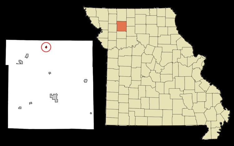
Map of Coffey, MO 64636, USA
History
Coffey was originally called Coffeyburg, and under the latter name was laid out in 1856 by B. H. Coffey, and named for him. A post office called Coffeysburg was established in 1867, and the name was changed to Coffey in 1910.
Geography
Coffey is located at 40°6′21″N 94°0′22″W (40.105824, -94.005981).
According to the United States Census Bureau, the city has a total area of 0.21 square miles (0.54 km2), all of it land.
2010 census
As of the census of 2010, there were 166 people, 60 households, and 47 families residing in the city. The population density was 790.5 inhabitants per square mile (305.2/km2). There were 76 housing units at an average density of 361.9 per square mile (139.7/km2). The racial makeup of the city was 100.0% White.
There were 60 households of which 40.0% had children under the age of 18 living with them, 63.3% were married couples living together, 6.7% had a female householder with no husband present, 8.3% had a male householder with no wife present, and 21.7% were non-families. 18.3% of all households were made up of individuals and 5% had someone living alone who was 65 years of age or older. The average household size was 2.77 and the average family size was 3.11.
The median age in the city was 33.2 years. 28.9% of residents were under the age of 18; 7.1% were between the ages of 18 and 24; 28.2% were from 25 to 44; 21.6% were from 45 to 64; and 13.9% were 65 years of age or older. The gender makeup of the city was 46.4% male and 53.6% female.
2000 census
As of the census of 2000, there were 140 people, 56 households, and 38 families residing in the city. The population density was 692.4 people per square mile (270.3/km²). There were 64 housing units at an average density of 316.5 per square mile (123.6/km²). The racial makeup of the city was 96.43% White and 3.57% Native American. Hispanic or Latino of any race were 1.43% of the population.
There were 56 households out of which 37.5% had children under the age of 18 living with them, 55.4% were married couples living together, 8.9% had a female householder with no husband present, and 30.4% were non-families. 28.6% of all households were made up of individuals and 17.9% had someone living alone who was 65 years of age or older. The average household size was 2.50 and the average family size was 3.05.
In the city, the population was spread out with 28.6% under the age of 18, 10.7% from 18 to 24, 18.6% from 25 to 44, 23.6% from 45 to 64, and 18.6% who were 65 years of age or older. The median age was 41 years. For every 100 females there were 66.7 males. For every 100 females age 18 and over, there were 81.8 males.
The median income for a household in the city was $15,000, and the median income for a family was $17,813. Males had a median income of $24,167 versus $14,375 for females. The per capita income for the city was $11,415. There were 38.5% of families and 43.1% of the population living below the poverty line, including 61.5% of under eighteens and 26.3% of those over 64.