
Area 3,898 km² | Website Official website Literacy 82.3% Lok sabha constituencies Indore, Dhar | |
 | ||
Destinations Indore, Mhow, Pithampur, Manpur, Simrol, Choral, Ghatabillod, Umariya, Baigram, Muhadi, Kekariya Dabri Colleges and Universities Devi Ahilya Vishwavidyalaya, Acropolis Institute of Technolo, Shri Govindram Seksaria I, Indian Institute of Technolo, Holkar Science College Points of interest Rajwada, Lal Bagh Palace, Patalpani waterfall, Mayank Blue Water Park, Indore Museum | ||
Indore District (Hindi: इन्दौर ज़िला) is a district of Madhya Pradesh state in central India. The district derived its name from the city of Indore, which serves as its administrative headquarters. This district is part of the Indore Division.
Contents
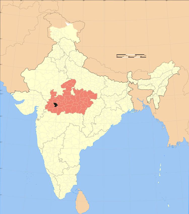
- Map of Indore Madhya Pradesh
- Demographics
- Geography
- Rivers and lakes
- Cities and towns
- Divisions
- References
Map of Indore, Madhya Pradesh
As of 2011 it is the most populous district of Madhya Pradesh (out of 50).
Demographics
The district has an area of 3,898 km². According to the provisional data of the 2011 census Indore District has a population of 3,272,335, roughly equal to the nation of Mauritania or the US state of Iowa. This gives it a ranking of 105th in India (out of a total of 640). The district has a population density of 841 inhabitants per square kilometre (2,180/sq mi) . Its population growth rate over the decade 2001-2011 was 32.88%. Indore has a sex ratio of 928 females for every 1000 males, and a literacy rate of 80.87%(male 87.25% and female 74.02%).
Geography
The Indore District is bounded by the districts of Ujjain to the north, Dewas to the east, Khargone (West Nimar) to the south, and Dhar to the west.
Rivers and lakes
Two main rivers are Chambal at the west (which originates from Vindhya range south of Mhow) and Kshipra, a tributary of Chambal at the east. Other small rivers include Gambhir and Khan, two tributaries of Kshipra.
Cities and towns
Indore is the administrative centre and chief city of the district. Mhow is an important cantonment town in Indore District, it has three of the Indian Army's premier training institutes. The Border Security Force (BSF) has its Central School of Weapons and Tactics (CSWT) at Indore. Other towns are Depalpur, Sanwer and Hatod.
Divisions
Indore district consists of 4 Tehsils: Depalpur, Sanwer, Indore and Mhow. Number of Blocks in the district is also 4 (consisting of 36 Police Stations). There are total 335 Panchayats and 649 villages in these 4 blocks. Rojadi is one of them which is the first village in which every house has power cable direct to the transformer.
At present, after the delimitation of parliamentary and legislative assembly constituencies in 2008, there are nine Vidhan Sabha constituencies in this district: Depalpur, Indore-1, Indore-2, Indore-3, Indore-4, Indore-5, Dr. Ambedkar Nagar-Mhow , Rau and Sanwer. Dr. Ambedkar Nagar-Mhow is part of Dhar Lok Sabha constituency and rest of them are part of Indore Lok Sabha constituency. The current member of the Lok Sabha from Indore constituency is Sumitra Mahajan of the Bharatiya Janata Party (BJP). She is the Member of Parliament since 1989.