
Vehicle registration MP Population 6,525 (2001) ISO 3166 code ISO 3166-2:IN | Time zone IST (UTC+5:30) Elevation 567 m Local time Monday 4:12 PM | |
 | ||
Weather 32°C, Wind NE at 10 km/h, 18% Humidity | ||
Manpur is a town and a nagar panchayat in Mhow Tehsil of Indore district in the Indian state of Madhya Pradesh.
Contents
Map of Manpur, Madhya Pradesh
Geography
Manpur is located at 22.43°N 75.62°E / 22.43; 75.62. It has an average elevation of 567 metres (1860 feet).
Demographics
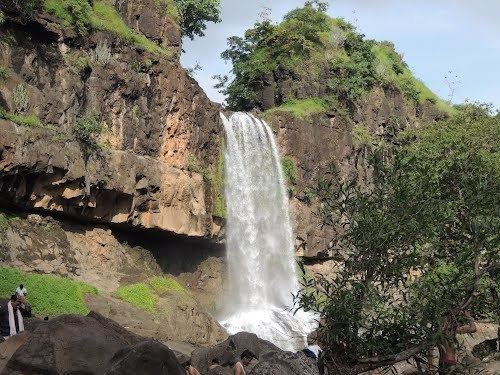
As of 2001 India census, Manpur had a population of 6525. Males constitute 53% of the population and females 47%. Manpur has an average literacy rate of 66%, higher than the national average of 59.5%: male literacy is 74%, and female literacy is 56%. In Manpur, 15% of the population is under 6 years of age.places like vidhyavasini mandir, shitalamata fall and wanchoo point are famous for glorious natural sightseeing. govt higher secondary school is famous for producing famous personalities.
References
Manpur, Indore Wikipedia(Text) CC BY-SA