
Existed: 1924 – present Constructed 1924 | Length 227.2 km | |
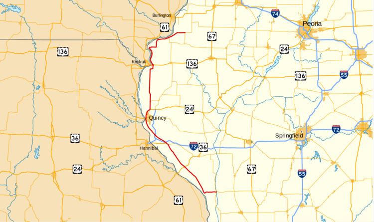 | ||
Illinois Route 96 is a north–south state road in far western Illinois. It runs from Illinois Route 100 in Kampsville, not far from a ferry crossing across the Illinois River, to Illinois Route 94 north of Terre Haute. This is a distance of 141.16 miles (227.17 km).
Contents
Map of IL-96, Illinois, USA
Route description
Illinois 96 follows most of the Great River Road in Illinois. From Kampsville, it runs west to the Mississippi River and then turns north, passing U.S. Route 54 at a rural intersection and Interstate 72 at an old terminus near Kinderhook. It overlaps Illinois Route 106 west of Kinderhook and then runs parallel to Illinois Route 57 into Quincy. Within Quincy it follows 36th Street, State Street and 24th Street before overlapping briefly with U.S. Route 24. It also overlaps U.S. Route 136 in Hamilton, IL (across from Keokuk, Iowa) and Illinois Route 9 from Niota to Dallas City, Illinois. Between Hamilton and Dallas City, Illinois 96 also passes through historic Nauvoo along Durphy and Mulholland Streets, two major streets that intersect in the middle of the town.
History
SBI Route 96 originally followed the modern-day Illinois 96 from Niota south to Kinderhook. In March 1941, the state announced that IL 96 was extended south to Hamburg to a historical ferry crossing. The Hamburg ferry stopped running in 1960. In 1950, Illinois 96 was rerouted into Kampsville, where another ferry crossing is located nearby on Illinois Route 108.