
Existed: 1924 – present Constructed 1924 | Length 87 km | |
 | ||
Counties Calhoun County, Illinois, Greene County, Illinois, Macoupin County, Illinois, Montgomery County, Illinois | ||
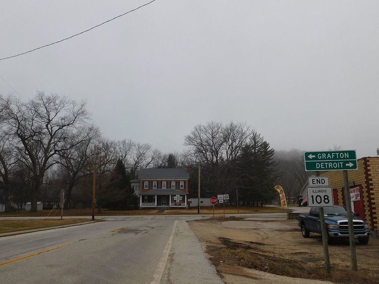
Illinois Route 108 is an east–west highway in western Illinois. Its western terminus is at Illinois Route 100 in Kampsville, and its eastern terminus is at Interstate 55 in Zanesville Township near Raymond. This is a distance of 54.06 miles (87.00 km).
Contents
Map of IL-108, Illinois, USA
Route description
Illinois 108 is a two-lane undivided surface road for its entire length. In Kampsville, the Kampsville ferry operates across the Illinois River and connects the Kampsville segment of Illinois 108 with its remainder. The ferry is free and runs 24 hours a day, seven days a week. It is one of two permanent ferries still operated by the Illinois Department of Transportation; the other is located in Grafton near the intersection of Illinois 100 and Illinois Route 3.
History
SBI Route 108 was established in 1924. Its routing has not changed since its establishment.