
Length 351.3 km | Constructed 5 November 1918 | |
 | ||
Existed: November 5, 1918 – present | ||
Illinois Route 9 (IL 9) is a 218.31-mile-long (351.34 km) cross-state, east–west rural state highway in the central part of the U.S. state of Illinois. It travels from Niota at the Fort Madison Toll Bridge, that crosses the Mississippi River into Iowa, eastward across central Illinois to State Road 26 (SR 26) at the Indiana state line.
Contents
Map of IL-9, Illinois, USA
Route description
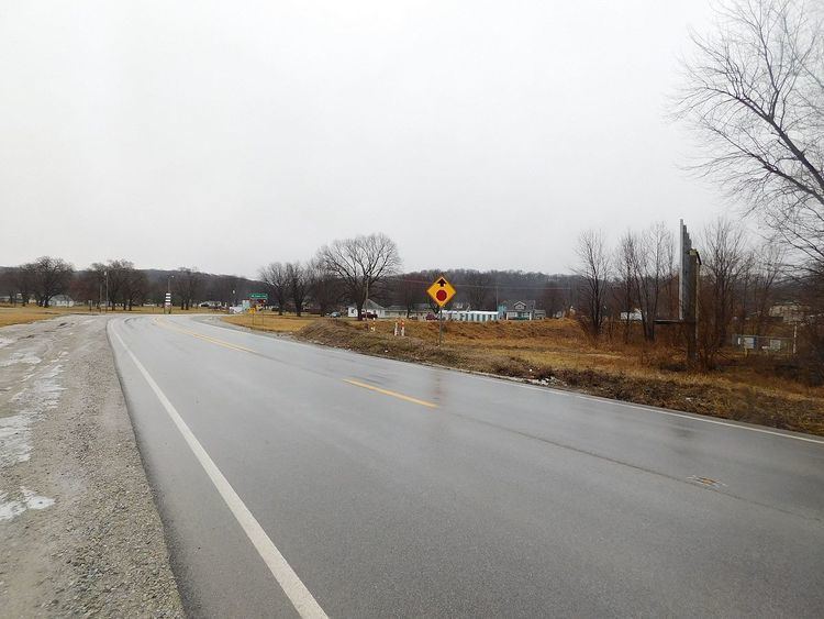
IL 9 is a major arterial route in rural central Illinois. It is a parallel highway to IL 116 to the north and U.S. Route 136 (US 136) to its south.
The road starts, in the east, at the Indiana state line near Cheneyville at SR 26 and SR 352 and travels as the main highway west. It has an interchange with Interstate 57 (I-57) at Paxton; I-55/I-74 at Bloomington; I-155 at Tremont; and crossing the Illinois River on the John T. McNaughton Bridge between Bartonville and Pekin, where it becomes known as Court Street in the city. It is a two-lane highway for most of its length.
History
IL 9 was established in 1918 as one of the original 46 State Bond Issue Route (SBI) routes. The routing of IL 9 has had two major changes since its establishment.
The original western terminus was in Hamilton, at the old Keokuk Rail Bridge completed in 1916 and then proceeded east through Carthage and Macomb (county seats of Hancock and McDonough counties), 9 miles (14 km) east of Macomb, southwest of New Philadelphia, the highway turned north to Bushnell and then proceeded east along the current IL 9 alignment to Canton, Peoria County, and Pekin.
This current highway moved north to terminate in Niota at the Fort Madison Toll Bridge (longest double-deck swing-span bridge in the world) after its completion in July 1928. The route parallels the Atchison, Topeka and Santa Fe Railway and Mississippi River to Dallas City then turns slightly southeast to LaHarpe. From LaHarpe, the highway parallels the original Toledo, Peoria and Western Railway right-of way to Bushnell.
From 1935 to 1937, IL 9 traveled a different route from Pekin to Bloomington, that original route is now posted as: