
Existed: 1938 – present Length 107 km | Constructed 1938 | |
 | ||
Illinois Route 106 is an east–west state highway in western Illinois. It runs from a new interchange with Interstate 72 near East Hannibal (across from Hannibal, Missouri) to U.S. Route 67 in White Hall. This is a distance of 66.47 miles (106.97 km).
Contents
Map of IL-106, Illinois, USA
Route description
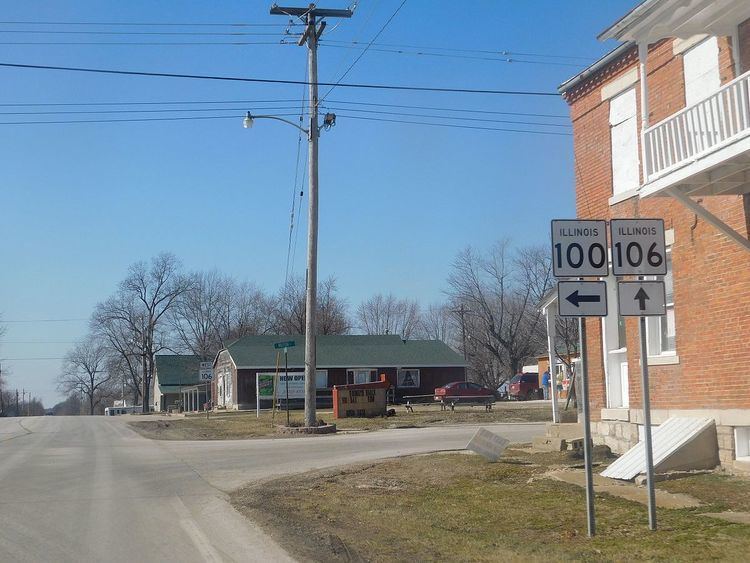
Illinois 106 is an undivided, two-lane surface road for its entire length. It overlaps Illinois Route 96 and U.S. Route 54 along its length.
History
SBI Route 106 was the current Illinois 106 from East Hannibal to Kinderhook. It was completely dropped and replaced with U.S. Route 36. In 1938, Illinois 106 was reapplied from White Hall to Winchester. It was extended west as U.S. 36 was moved onto the new freeway that would become Interstate 72. On June 28, 2012, the Florence Bridge over the Illinois River was closed for at least 9 months by IDot due to difficulties with the lifting mechanism that allows barge traffic to pass under the bridge. Inspections suggested that continued use of the lift span could harm the structural integrity of the bridge. As barges need to pass under the bridge, the lifting span was raised up and the bridge was closed. Motorists wishing to cross the river must use the signed detour utilizing US Route 54, Interstate 72 and Illinois Route 100. Repairs were made, and the bridge reopened on April 22, 2013.