
Founded 1873 Unemployment rate 3.2% (Apr 2015) Cities High | Congressional district At-large Area 2,243 km² Population 1,391 (2013) Largest city High | |
 | ||
Rivers Chaney Rush Creek, Elm Creek, Baloun Creek, Medicine Creek | ||
Hyde County is a county located in the U.S. state of South Dakota. As of the 2010 census, the population was 1,420, making it the fourth-least populous county in South Dakota. Its county seat is Highmore. The county was founded in 1873, as a county of the Dakota Territory, and organized in 1883. It was named for James Hyde, a member of legislature in the 1870s.
Contents
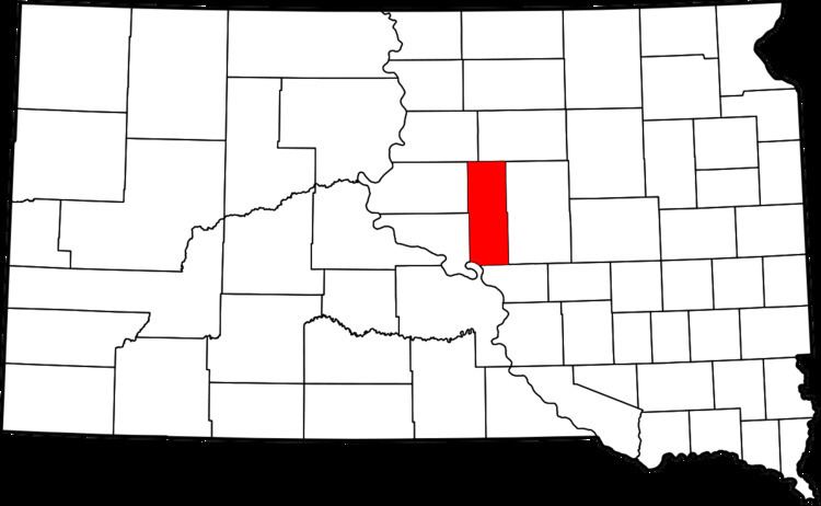
- Map of Hyde County SD USA
- Geography
- Major highways
- Adjacent counties
- 2000 census
- 2010 census
- City
- Towns
- Townships
- Unorganized territories
- References
Map of Hyde County, SD, USA
Geography
According to the U.S. Census Bureau, the county has a total area of 866 square miles (2,240 km2), of which 861 square miles (2,230 km2) is land and 5.6 square miles (15 km2) (0.6%) is water.
Major highways
Adjacent counties
2000 census
As of the census of 2000, there were 1,671 people, 679 households, and 456 families residing in the county. The population density was 2 people per square mile (1/km²). There were 769 housing units at an average density of 1 per square mile (0/km²). The racial makeup of the county was 91.08% White, 0.12% Black or African American, 7.96% Native American, 0.12% Pacific Islander, 0.12% from other races, and 0.60% from two or more races. 0.48% of the population were Hispanic or Latino of any race.
There were 679 households out of which 29.60% had children under the age of 18 living with them, 55.70% were married couples living together, 6.00% had a female householder with no husband present, and 32.80% were non-families. 30.30% of all households were made up of individuals and 17.10% had someone living alone who was 65 years of age or older. The average household size was 2.41 and the average family size was 3.00.
In the county, the population was spread out with 25.60% under the age of 18, 5.80% from 18 to 24, 23.50% from 25 to 44, 22.70% from 45 to 64, and 22.30% who were 65 years of age or older. The median age was 42 years. For every 100 females there were 102.10 males. For every 100 females age 18 and over, there were 97.00 males.
The median income for a household in the county was $31,103, and the median income for a family was $40,700. Males had a median income of $24,728 versus $18,833 for females. The per capita income for the county was $16,356. About 7.80% of families and 12.30% of the population were below the poverty line, including 13.40% of those under age 18 and 13.70% of those age 65 or over.
2010 census
As of the 2010 United States Census, there were 1,420 people, 600 households, and 385 families residing in the county. The population density was 1.7 inhabitants per square mile (0.66/km2). There were 708 housing units at an average density of 0.8 per square mile (0.31/km2). The racial makeup of the county was 89.1% white, 8.5% American Indian, 0.2% Asian, 0.1% Pacific islander, 0.1% black or African American, 0.2% from other races, and 1.9% from two or more races. Those of Hispanic or Latino origin made up 1.1% of the population. In terms of ancestry,
Of the 600 households, 26.2% had children under the age of 18 living with them, 53.7% were married couples living together, 5.5% had a female householder with no husband present, 35.8% were non-families, and 33.0% of all households were made up of individuals. The average household size was 2.30 and the average family size was 2.92. The median age was 46.4 years.
The median income for a household in the county was $41,196 and the median income for a family was $61,161. Males had a median income of $36,053 versus $28,456 for females. The per capita income for the county was $22,995. About 8.3% of families and 11.2% of the population were below the poverty line, including 11.6% of those under age 18 and 14.1% of those age 65 or over.
City
Towns
Townships
The county is divided into many townships:
Unorganized territories
The county contains three areas of unorganized territory: Central Hyde, Crow Creek, and North Hyde.