
Congressional district At-large Website www.sullycounty.net Founded 1873 Unemployment rate 3.2% (Apr 2015) | Area 2,771 km² Population 1,437 (2013) Largest city Onida | |
 | ||
Rivers Missouri River, Artichoke Creek, Plum Creek | ||
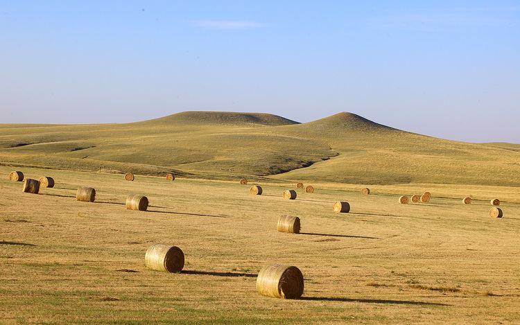
Sully County is a county located in the U.S. state of South Dakota. As of the 2010 census, the population was 1,373, making it the third-least populous county in South Dakota. Its county seat is Onida. The county was created in 1873 and organized in 1883. It is named after General Alfred Sully who built Fort Sully.
Contents
- Map of Sully County SD USA
- Geography
- Major highways
- Adjacent counties
- 2000 census
- 2010 census
- City
- Town
- Census designated place
- Unorganized territories
- References
Map of Sully County, SD, USA
Sully County is included in the Pierre, SD Micropolitan Statistical Area.
Geography
According to the U.S. Census Bureau, the county has a total area of 1,070 square miles (2,800 km2), of which 1,007 square miles (2,610 km2) is land and 63 square miles (160 km2) (5.9%) is water.
Major highways
Adjacent counties
2000 census
As of the census of 2000, there were 1,556 people, 630 households, and 442 families residing in the County. The population density was 2 people per square mile (1/km²). There were 844 housing units at an average density of 1 per square mile (0/km²). The racial makeup of Sully County was 97.81% White, 0.77% Native American, 0.13% Asian, 0.13% from other races, and 1.16% from two or more races. 0.77% of the population were Hispanic or Latino of any race.
There were 630 households out of which 31.00% had children under the age of 18 living with them, 62.50% were married couples living together, 4.30% had a female householder with no husband present, and 29.70% were non-families. 25.70% of all households were made up of individuals and 10.60% had someone living alone who was 65 years of age or older. The average household size was 2.47 and the average family size was 2.99.
In the County, the population was spread out with 25.50% under the age of 18, 6.10% from 18 to 24, 26.50% from 25 to 44, 24.40% from 45 to 64, and 17.40% who were 65 years of age or older. The median age was 40 years. For every 100 females there were 105.50 males. For every 100 females age 18 and over, there were 108.50 males.
The median income for a household in the county was $32,500, and the median income for a family was $38,304. Males had a median income of $25,265 versus $20,521 for females. The per capita income for the county was $17,407. About 10.60% of families and 12.10% of the population were below the poverty line, including 13.40% of those under age 18 and 15.10% of those age 65 or over.
2010 census
As of the 2010 United States Census, there were 1,373 people, 610 households, and 397 families residing in the county. The population density was 1.4 inhabitants per square mile (0.54/km2). There were 845 housing units at an average density of 0.8 per square mile (0.31/km2). The racial makeup of the county was 96.6% white, 1.2% American Indian, 0.1% black or African American, 0.0% from other races, and 2.2% from two or more races. Those of Hispanic or Latino origin made up 0.9% of the population. In terms of ancestry,
Of the 610 households, 27.0% had children under the age of 18 living with them, 57.5% were married couples living together, 4.6% had a female householder with no husband present, 34.9% were non-families, and 31.6% of all households were made up of individuals. The average household size was 2.25 and the average family size was 2.82. The median age was 46.6 years.
The median income for a household in the county was $48,958 and the median income for a family was $58,875. Males had a median income of $34,375 versus $29,087 for females. The per capita income for the county was $26,596. About 4.4% of families and 8.0% of the population were below the poverty line, including 12.8% of those under age 18 and 8.4% of those age 65 or over.
City
Town
Census-designated place
Unorganized territories
The county is divided into two areas of unorganized territory: West Sully and East Sully.