
Named for Joel A. Potter Congressional district At-large Area 2,328 km² Population 2,394 (2013) | Founded 1875 Unemployment rate 4.4% (Apr 2015) | |
 | ||
Rivers Artichoke Creek, Little Cheyenne Creek, Steamboat Creek | ||
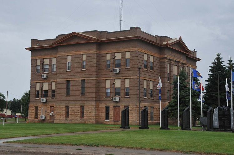
Potter County is a county located in the U.S. state of South Dakota. As of the 2010 census, the population was 2,329. Its county seat is Gettysburg. The county was created in 1873 and organized in 1883.
Contents
- Map of Potter County SD USA
- Geography
- Major highways
- Adjacent counties
- 2000 census
- 2010 census
- City
- Towns
- Townships
- References
Map of Potter County, SD, USA
Geography
According to the U.S. Census Bureau, the county has a total area of 899 square miles (2,330 km2), of which 861 square miles (2,230 km2) is land and 38 square miles (98 km2) (4.2%) is water.
Major highways
Adjacent counties
2000 census
As of the census of 2000, there were 2,693 people, 1,145 households, and 767 families residing in the county. The population density was 3 people per square mile (1/km²). There were 1,760 housing units at an average density of 2 per square mile (1/km²). The racial makeup of the county was 98.14% White, 0.82% Native American, 0.19% Asian, 0.07% from other races, and 0.78% from two or more races. 0.19% of the population were Hispanic or Latino of any race.
There were 1,145 households out of which 26.60% had children under the age of 18 living with them, 59.20% were married couples living together, 4.90% had a female householder with no husband present, and 33.00% were non-families. 31.30% of all households were made up of individuals and 17.50% had someone living alone who was 65 years of age or older. The average household size was 2.29 and the average family size was 2.88.
In the county, the population was spread out with 23.00% under the age of 18, 3.90% from 18 to 24, 22.30% from 25 to 44, 25.70% from 45 to 64, and 25.00% who were 65 years of age or older. The median age was 46 years. For every 100 females there were 96.70 males. For every 100 females age 18 and over, there were 94.80 males.
The median income for a household in the county was $30,086, and the median income for a family was $37,827. Males had a median income of $25,320 versus $16,563 for females. The per capita income for the county was $17,417. About 8.90% of families and 12.60% of the population were below the poverty line, including 18.00% of those under age 18 and 12.30% of those age 65 or over.
2010 census
As of the 2010 United States Census, there were 2,329 people, 1,062 households, and 648 families residing in the county. The population density was 2.7 inhabitants per square mile (1.0/km2). There were 1,500 housing units at an average density of 1.7 per square mile (0.66/km2). The racial makeup of the county was 97.6% white, 0.9% American Indian, 0.3% Asian, 0.1% black or African American, 0.2% from other races, and 0.9% from two or more races. Those of Hispanic or Latino origin made up 0.7% of the population. In terms of ancestry, 65.3% were German, 11.1% were Irish, 8.2% were Norwegian, 8.0% were English, and 3.9% were American.
Of the 1,062 households, 21.7% had children under the age of 18 living with them, 53.0% were married couples living together, 4.2% had a female householder with no husband present, 39.0% were non-families, and 35.5% of all households were made up of individuals. The average household size was 2.13 and the average family size was 2.76. The median age was 50.6 years.
The median income for a household in the county was $42,422 and the median income for a family was $53,214. Males had a median income of $33,750 versus $29,792 for females. The per capita income for the county was $23,986. About 5.4% of families and 10.0% of the population were below the poverty line, including 11.7% of those under age 18 and 10.8% of those age 65 or over.
City
Towns
Townships
The county is divided into three areas of unorganized territory: West Potter, Central Potter, and East Potter.