
Country United States GNIS feature ID 453412 Local time Saturday 7:33 AM | FIPS code 18-33448 Elevation 292 m Population 1,412 (2010) | |
 | ||
Weather -6°C, Wind N at 5 km/h, 52% Humidity Area 78.99 km² (78.55 km² Land / 47 ha Water) | ||
Highland Township is one of thirteen townships in Franklin County, Indiana. As of the 2010 census, its population was 1,412.
Contents
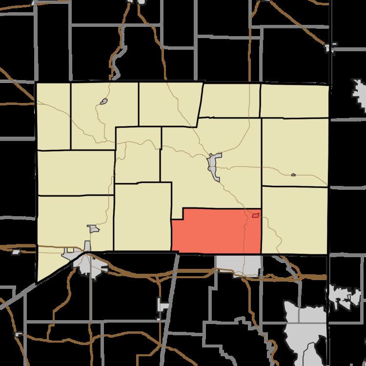
- Map of Highland Township IN USA
- History
- Geography
- Cities and towns
- Unincorporated towns
- Adjacent townships
- Major highways
- Cemeteries
- References
Map of Highland Township, IN, USA
History
Highland Township was established in 1821.
The Cedar Grove Bridge was listed on the National Register of Historic Places in 2014.
Geography
According to the 2010 census, the township has a total area of 30.5 square miles (79 km2), of which 30.33 square miles (78.6 km2) (or 99.44%) is land and 0.18 square miles (0.47 km2) (or 0.59%) is water.
Cities and towns
Unincorporated towns
(This list is based on USGS data and may include former settlements.)
Adjacent townships
Major highways
Cemeteries
The township contains one cemetery, South Gate.
References
Highland Township, Franklin County, Indiana Wikipedia(Text) CC BY-SA