
Country United States GNIS feature ID 453523 Local time Saturday 5:50 PM | FIPS code 18-39330 Elevation 281 m Population 2,341 (2010) | |
 | ||
Weather 1°C, Wind NW at 11 km/h, 34% Humidity Area 66.43 km² (66.36 km² Land / 10 ha Water) | ||
Kelso Township is one of fourteen townships in Dearborn County, Indiana. As of the 2010 census, its population was 2,341 and it contained 919 housing units.
Contents
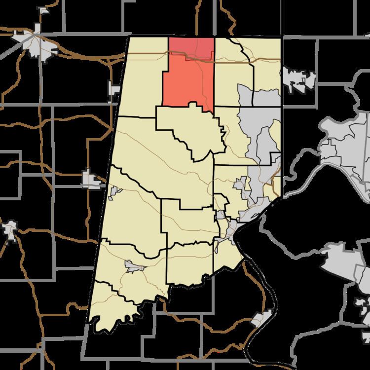
Map of Kelso, IN, USA
History
Kelso Township was named for John Kelso, an Irish immigrant and pioneer settler.
Geography
According to the 2010 census, the township has a total area of 25.65 square miles (66.4 km2), of which 25.62 square miles (66.4 km2) (or 99.88%) is land and 0.04 square miles (0.10 km2) (or 0.16%) is water.
Town
Unincorporated towns
(This list is based on USGS data and may include former settlements.)
Major highways
Cemeteries
The township contains two cemeteries: Huber-Briggs and Saint Pauls.
References
Kelso Township, Dearborn County, Indiana Wikipedia(Text) CC BY-SA