
Country United States County Franklin Time zone EST (UTC-5) Area 39 ha Zip code 47016 Local time Tuesday 1:43 AM | State Indiana FIPS code 18-11044 Elevation 183 m Population 155 (2013) Area code 765 | |
 | ||
Weather 16°C, Wind S at 21 km/h, 64% Humidity | ||
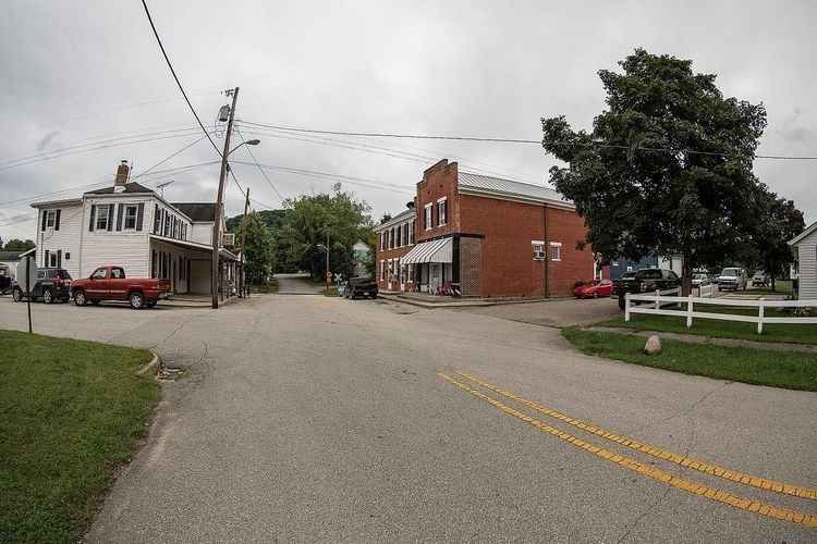
Cedar Grove is a town in Highland Township, Franklin County, Indiana, United States. The population was 156 at the 2010 census.
Contents
Map of Cedar Grove, IN, USA
History
Cedar Grove, originally known as Rochester, was platted in 1837 by John Ward. Ward built a large gristmill there. It was incorporated as a town in 1907.
The Cedar Grove Bridge was listed on the National Register of Historic Places in 2014.
Geography
Cedar Grove is located at 39°21′23″N 84°56′13″W (39.356407, -84.937034).
According to the 2010 census, Cedar Grove has a total area of 0.15 square miles (0.39 km2), all land.
2010 census
As of the census of 2010, there were 156 people, 75 households, and 47 families residing in the town. The population density was 1,040.0 inhabitants per square mile (401.5/km2). There were 84 housing units at an average density of 560.0 per square mile (216.2/km2). The racial makeup of the town was 98.7% White and 1.3% from two or more races.
There were 75 households of which 25.3% had children under the age of 18 living with them, 44.0% were married couples living together, 16.0% had a female householder with no husband present, 2.7% had a male householder with no wife present, and 37.3% were non-families. 33.3% of all households were made up of individuals and 9.4% had someone living alone who was 65 years of age or older. The average household size was 2.08 and the average family size was 2.55.
The median age in the town was 44.5 years. 19.2% of residents were under the age of 18; 7.7% were between the ages of 18 and 24; 23.7% were from 25 to 44; 35.2% were from 45 to 64; and 14.1% were 65 years of age or older. The gender makeup of the town was 47.4% male and 52.6% female.
2000 census
As of the census of 2000, there were 185 people, 75 households, and 54 families residing in the town. The population density was 1,240.3 people per square mile (476.2/km²). There were 79 housing units at an average density of 529.7 per square mile (203.3/km²). The racial makeup of the town was 99.46% White, and 0.54% from two or more races.
There were 75 households out of which 30.7% had children under the age of 18 living with them, 50.7% were married couples living together, 17.3% had a female householder with no husband present, and 28.0% were non-families. 26.7% of all households were made up of individuals and 12.0% had someone living alone who was 65 years of age or older. The average household size was 2.47 and the average family size was 2.98.
In the town, the population was spread out with 23.2% under the age of 18, 9.7% from 18 to 24, 27.0% from 25 to 44, 25.9% from 45 to 64, and 14.1% who were 65 years of age or older. The median age was 36 years. For every 100 females there were 105.6 males. For every 100 females age 18 and over, there were 100.0 males.
The median income for a household in the town was $40,833, and the median income for a family was $45,625. Males had a median income of $36,094 versus $24,375 for females. The per capita income for the town was $23,483. About 5.3% of families and 6.6% of the population were below the poverty line, including 11.1% of those under the age of eighteen and none of those sixty five or over.