
Country United States GNIS feature ID 453136 Local time Saturday 12:38 PM | State Indiana FIPS code 18-08200 Elevation 192 m Population 5,773 (2010) | |
 | ||
Weather 2°C, Wind SE at 16 km/h, 76% Humidity Area 173.8 km² (166.4 km² Land / 7.33 km² Water) Points of interest Brookville Lake Dam, Skyward Adventures Zipline To, Little Cedar Grove Baptist C | ||
Brookville Township is one of thirteen townships in Franklin County, Indiana. As of the 2010 census, its population was 5,773.
Contents
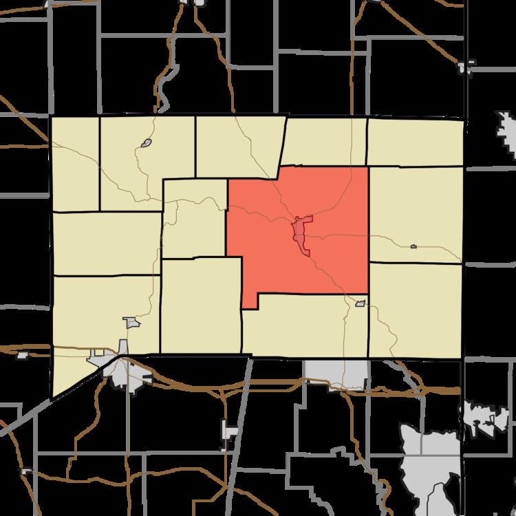
- Map of Brookville Township IN USA
- Geography
- Cities and towns
- Unincorporated towns
- Adjacent townships
- Major highways
- Cemeteries
- References
Map of Brookville Township, IN, USA
Geography
According to the 2010 census, the township has a total area of 67.09 square miles (173.8 km2), of which 64.25 square miles (166.4 km2) (or 95.77%) is land and 2.83 square miles (7.3 km2) (or 4.22%) is water.
Cities and towns
Unincorporated towns
(This list is based on USGS data and may include former settlements.)
Adjacent townships
Major highways
Cemeteries
The township contains three cemeteries: Maple Grove, Saint Michaels and Usher.
References
Brookville Township, Franklin County, Indiana Wikipedia(Text) CC BY-SA