
County Franklin ZIP code 47012 Elevation 294 m | State Indiana FIPS code 18-67230 Local time Tuesday 9:07 AM | |
 | ||
Weather 12°C, Wind N at 16 km/h, 99% Humidity | ||
Saint Peter is an unincorporated community in Highland Township, Franklin County, Indiana.
Contents
Map of St Peter, Highland Township, IN 47012, USA
History
Saint Peter was laid out in 1853. The community was originally built up chiefly by Germans, who established a large Catholic church there. A post office was established at Saint Peter in 1849, and remained in operation until 1906.
Geography
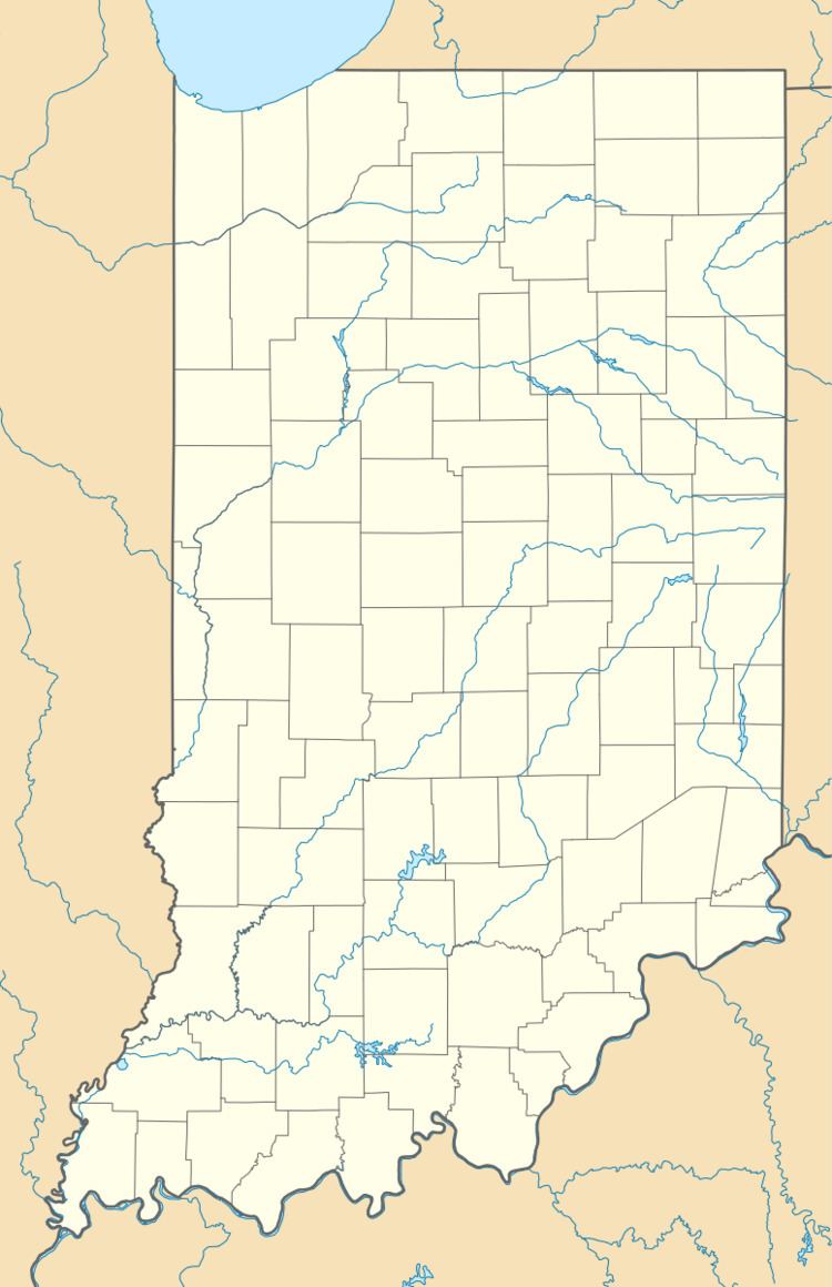
Saint Peter is located at 39°19′18″N 85°01′54″W.
References
Saint Peter, Indiana Wikipedia(Text) CC BY-SA