
Country United States GNIS feature ID 453149 Local time Tuesday 12:01 PM | FIPS code 18-09568 Elevation 279 m Population 1,318 (2010) | |
 | ||
Weather 12°C, Wind SW at 19 km/h, 94% Humidity Area 78.63 km² (78.42 km² Land / 23 ha Water) | ||
Butler Township is one of thirteen townships in Franklin County, Indiana. As of the 2010 census, its population was 1,318.
Contents
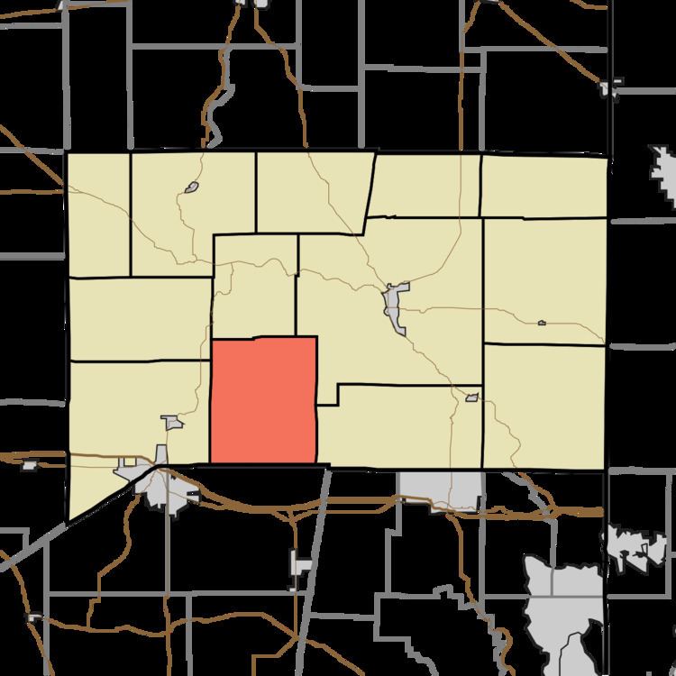
- Map of Butler Township IN USA
- History
- Geography
- Unincorporated towns
- Adjacent townships
- Cemeteries
- References
Map of Butler Township, IN, USA
History
Butler Township was established in 1849. Butler Township is named after Butler County, Ohio, the native home of many of its early settlers.
Geography
According to the 2010 census, the township has a total area of 30.36 square miles (78.6 km2), of which 30.28 square miles (78.4 km2) (or 99.74%) is land and 0.09 square miles (0.23 km2) (or 0.30%) is water.
Unincorporated towns
(This list is based on USGS data and may include former settlements.)
Adjacent townships
Cemeteries
The township contains one cemetery, Wolf Creek.
References
Butler Township, Franklin County, Indiana Wikipedia(Text) CC BY-SA