
Population 544 (2006 census) Postal code 3401 | Postcode(s) 3401 Local time Friday 10:40 PM | |
 | ||
Location 311 km (193 mi) NW of Melbourne9 km (6 mi) NW of Horsham Weather 22°C, Wind SE at 14 km/h, 45% Humidity | ||
Dooen is a small town situated in the Wimmera region, Western Victoria, Australia. The Henty Highway between Mildura and Portland passes through the tiny town. At the 2006 census, Dooen and the surrounding area had a population of 544.
Contents
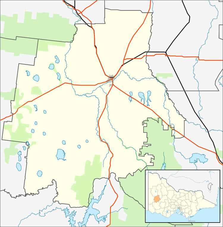
Map of Dooen VIC 3401, Australia
Dooen Post Office opened on 1 September 1877 and closed in 1982. The Old Dooen pub is one of the few remaining occupied buildings and is popular amongst the agricultural students of Longerenong College. The Dooen School closed in 1994, the Dooen Hall is all that remains on the site.
Communications
The ABC Western Victoria transmitter at Dooen, named 594 3WV, was built in 1936. The mast is 201 metres tall and the transmitter generates 50 kilowatts of energy, with only 13 other more powerful broadcast towers in Australia. The lattice work at the top of the mast is 19 metres in diameter.
Transport
The Wimmera Intermodal Freight Terminal (aka inland port) opened on the Western standard gauge line at Dooen in August 2012. By 2014 over 700 ISO containers were moving through the terminal each week, on one of nine weekly intermodal trains between Melbourne and Dooen.