
Country United States Elevation 176 m Local time Friday 1:45 PM | GNIS feature ID 0453851 Area 77.29 km² Population 383 (2010) | |
 | ||
Weather 20°C, Wind SW at 31 km/h, 62% Humidity | ||
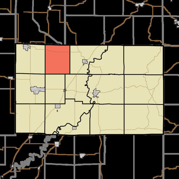
Smith Township is one of fifteen townships in Greene County, Indiana, USA. As of the 2010 census, its population was 383.
Contents
- Map of Smith Township IN USA
- Geography
- Unincorporated towns
- Adjacent townships
- Cemeteries
- Major highways
- References
Map of Smith Township, IN, USA
Geography
According to the 2010 census, the township has a total area of 29.84 square miles (77.3 km2), of which 29.81 square miles (77.2 km2) (or 99.90%) is land and 0.03 square miles (0.078 km2) (or 0.10%) is water. The stream of Hall Branch runs through this township.
Unincorporated towns
(This list is based on USGS data and may include former settlements.)
Adjacent townships
Cemeteries
The township contains four cemeteries: Bohley, Campbell, Fuller and Scafford Prairie.
Major highways
References
Smith Township, Greene County, Indiana Wikipedia(Text) CC BY-SA