
 | ||
Similar Barossa Valley, Riverland, Mount Lofty Ranges, Clare Valley, Granite Island | ||
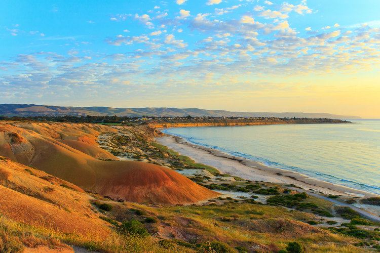
The Fleurieu Peninsula is a peninsula located south of Adelaide in South Australia.
Map of Fleurieu Peninsula, Inman Valley SA 5211, Australia
It was named after Charles Pierre Claret de Fleurieu, the French explorer and hydrographer, by the French explorer Nicolas Baudin as he explored the south coast of Australia in 1802. The name came in official use in 1911 in response to a recommendation to the South Australian Government from the Royal Geographical Society of South Australia following a representation from Count Alphonse de Fleurieu, a great-nephew of Charles de Fleurieu, that places in South Australia discovered by but unnamed by Matthew Flinders be given the names proposed by Baudin's expedition.
The Geographical Names Advisory Committee advised in 2001 that the extent of the peninsula is:
that portion of land between Gulf St. Vincent and the Southern Ocean (sic), a line from Aldinga (sic) (southern end of Aldinga Bay) to Middleton (eastern end) being the cut-off for the peninsula. This boundary has not to be gazetted at present, and is intended to be the extent of the geographic feature only and is not to be applied to any industry or interest group regional identification.
Towns on the peninsula include Victor Harbor, Willunga, Normanville, Goolwa, Yankalilla and Rapid Bay. Districts include Inman Valley and Hindmarsh Valley. A ferry travels between Cape Jervis, at the tip of the peninsula, and Kangaroo Island. There is surfing on both the west and south facing coasts - known locally to Adelaide surfers as the Mid South Coast and the Far South Coast. Surf spots of note include Waitpinga and Middleton on the Far South Coast.