
Country United States Elevation 329 m Local time Thursday 7:01 PM | GNIS feature ID 453349 Area 74.26 km² Population 1,222 (2010) | |
 | ||
Weather 9°C, Wind N at 21 km/h, 39% Humidity | ||
Green Township is one of fifteen townships in Wayne County, Indiana, United States. As of the 2010 census, its population was 1,222 and it contained 455 housing units.
Contents
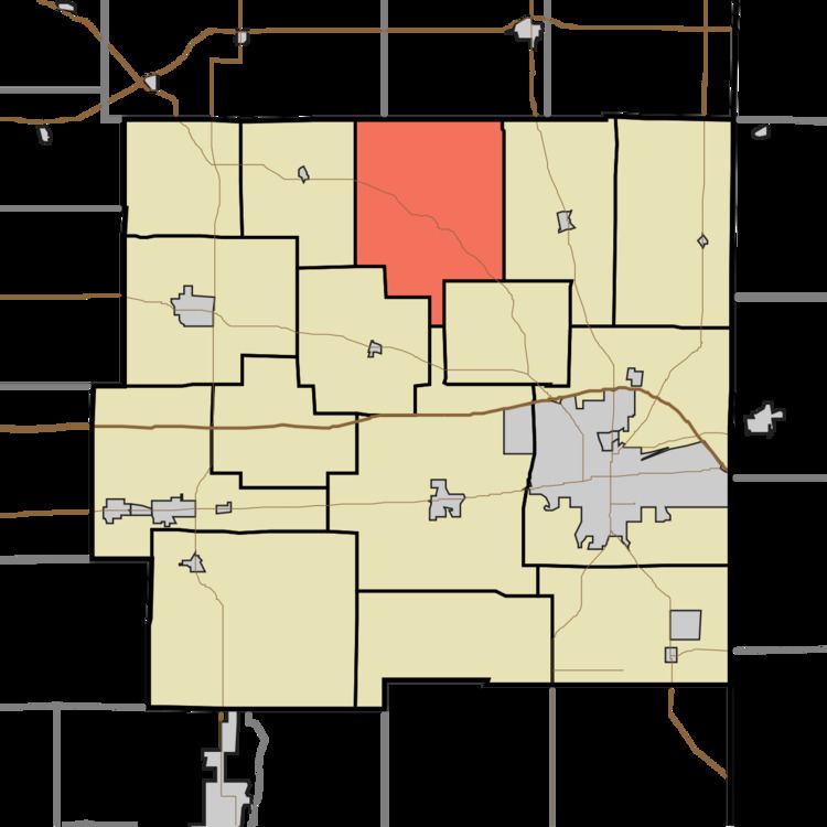
- Map of Green Township IN USA
- History
- Geography
- Unincorporated towns
- Adjacent townships
- Cemeteries
- Major highways
- References
Map of Green Township, IN, USA
History
Green Township was organized in 1821. Green Township was named for one John Green, a Native American.
Geography
According to the 2010 census, the township has a total area of 28.67 square miles (74.3 km2), of which 28.57 square miles (74.0 km2) (or 99.65%) is land and 0.1 square miles (0.26 km2) (or 0.35%) is water. The streams of Collor Creek, Fruit Branch, Hopewell Run, Morgan Creek, Town Creek, Well Brook, William Creek and Williamsburg Creek run through this township.
Unincorporated towns
(This list is based on USGS data and may include former settlements.)
Adjacent townships
Cemeteries
The township contains three cemeteries: Old Center, Old Concord and Williamsburg.