
Country United States Elevation 350 m Population 835 (2010) | GNIS feature ID 453727 Area 45.17 km² Local time Monday 9:18 AM | |
 | ||
Weather 11°C, Wind SW at 8 km/h, 96% Humidity | ||
Perry Township is one of fifteen townships in Wayne County, Indiana, United States. As of the 2010 census, its population was 835 and it contained 325 housing units.
Contents
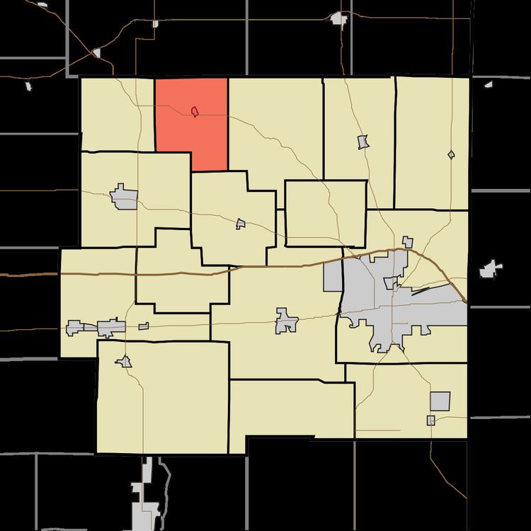
- Map of Perry Township IN USA
- History
- Geography
- Cities and towns
- Adjacent townships
- Cemeteries
- Major highways
- References
Map of Perry Township, IN, USA
History
Perry Township was originally settled chiefly by Quakers.
Geography
According to the 2010 census, the township has a total area of 17.44 square miles (45.2 km2), of which 17.43 square miles (45.1 km2) (or 99.94%) is land and 0.01 square miles (0.026 km2) (or 0.06%) is water. Lakes in this township include Osborne Lakes. The streams of Economy Run, Jordon Creek, Mop Run, Swab Creek, Wash Branch and West Brook run through this township.
Cities and towns
Adjacent townships
Cemeteries
The township contains two cemeteries: Economy and Jordon.
Major highways
References
Perry Township, Wayne County, Indiana Wikipedia(Text) CC BY-SA