
Country United States Elevation 308 m Population 7,579 (2010) | GNIS feature ID 453196 Area 109.6 km² Local time Tuesday 10:35 AM | |
 | ||
Weather 12°C, Wind S at 26 km/h, 99% Humidity | ||
Center Township is one of fifteen townships in Wayne County, Indiana, United States. As of the 2010 census, its population was 7,579 and it contained 3,204 housing units.
Contents
- Map of Center Township IN USA
- History
- Geography
- Cities and towns
- Unincorporated towns
- Adjacent townships
- Cemeteries
- Major highways
- References
Map of Center Township, IN, USA
History
Center Township was organized in 1817.
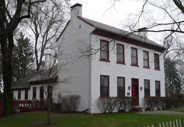
The Lewis Jones House, King-Dennis Farm, and Samuel G. Smith Farm are listed on the National Register of Historic Places.
Geography
According to the 2010 census, the township has a total area of 42.32 square miles (109.6 km2), of which 42.03 square miles (108.9 km2) (or 99.31%) is land and 0.29 square miles (0.75 km2) (or 0.69%) is water. The streams of Black Run, Bryant Creek, Center Run, Centrum Run, Cold Run, Cool Brook, Crown Creek, Far Run, Fork Creek, Free Run, Middle Run, Point Run, Rich Creek, Sleet Brook, Snow Run Brook and Winter Run run through this township.
Cities and towns
Unincorporated towns
(This list is based on USGS data and may include former settlements.)
Adjacent townships
Cemeteries
The township contains three cemeteries: Crown Hill, Crown Hill and West Grove.