
Country United States FIPS code 18-77588 Elevation 349 m Population 2,142 (2010) | Time zone Eastern (EST) (UTC-5) GNIS feature ID 453931 Local time Friday 2:08 PM | |
 | ||
Weather 9°C, Wind W at 21 km/h, 100% Humidity Area 185.6 km² (185.2 km² Land / 34 ha Water) | ||
Union Township is one of eleven townships in Randolph County, Indiana, which contains the towns of Modoc and Losantville. As of the 2010 census, its population was 2,142 and it contained 960 housing units. Union Township was established in 1838.
Contents
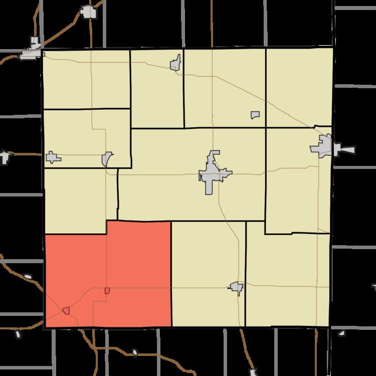
- Map of Union Township IN USA
- Geography
- Cities and towns
- Unincorporated towns
- Cemeteries
- Major highways
- References
Map of Union Township, IN, USA
Geography
According to the 2010 census, the township has a total area of 71.65 square miles (185.6 km2), of which 71.52 square miles (185.2 km2) (or 99.82%) is land and 0.13 square miles (0.34 km2) (or 0.18%) is water.
Cities and towns
Unincorporated towns
Cemeteries
Union Township has nine cemeteries:
Major highways
References
Union Township, Randolph County, Indiana Wikipedia(Text) CC BY-SA