
 | ||
Islamabad is located at 33.43°N 73.04°E / 33.43; 73.04 at the edge of the Pothohar Plateau at the foot of the Margalla Hills in Islamabad Capital Territory. Its elevation is 507 metres (1,663 ft). The modern capital and the ancient Gakhar city of Rawalpindi stand side by side and are commonly referred to as the Twin Cities. To the east of the city lies Murree and Kotli Sattian. To the north lies the Haripur District of Khyber Pakhtunkhwa. Kahuta lies on the northeast, Taxila, Wah Cantt, and Attock District to the northwest, Gujar Khan, Kallar Syedan, Rawat, and Mandrah on the northeast, and Rawalpindi to the southwest. Islamabad is located 120 kilometres (75 mi) SSW of Muzaffarabad, 185 kilometres (115 mi) east of Peshawar, 295 kilometres (183 mi) NNE of Lahore, and 300 kilometres (190 mi) WSW of Srinagar, the capital of Indian Kashmir.
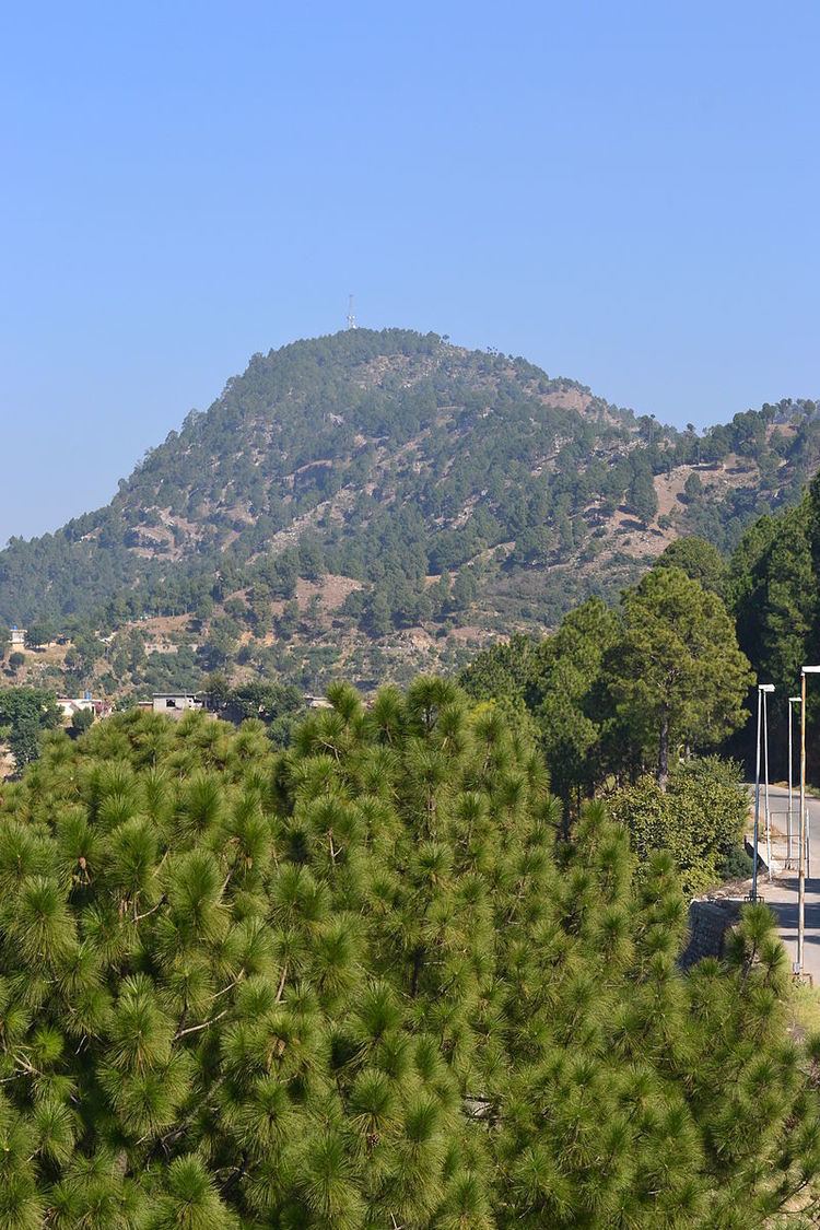
Tilla Charouni with 1604 meter/ 5263 feet is the highest point in Islamabad district.
The area of Islamabad is 906 square kilometres (350 sq mi). A further 2,717 square kilometres (1,049 sq mi) area is known as the Specified Area, with the Margala Hills in the north and northeast. The southern portion of the city is an undulating plain. It is drained by the Kurang River, on which the Rawal Dam is located.
Islamabad's micro-climate is regulated by three artificial reservoirs; Rawal, Simli, and Khanpur Dam. Khanpur Dam is located on the Haro River near the town of Khanpur, about 40 kilometres (25 mi) from Islamabad. Simli Dam is located 30 kilometres (19 mi) north of Islamabad. 220 acres (89 ha) of the city consists of Margalla Hills National Park. Loi Bher Forest is situated along the Islamabad Highway, covering an area of 1,087 acres (440 ha).