
Calling code 0513 Area 1,466 km² Area code 0513 University Sarwar Shaheed College | Province Punjab Time zone PST (UTC+5) Number of Union councils 36 Elevation 461 m Local time Saturday 10:49 PM | |
 | ||
Weather 12°C, Wind NE at 10 km/h, 68% Humidity | ||
108 year old man in gujar khan punjab pakistan english subtitles
Gujar Khan (Punjabi/Urdu: گوجر خان) is a city in Rawalpindi District, Punjab, Pakistan. It is the headquarters of Gujar Khan Tehsil, and the largest tehsil of Punjab by land area.
Contents
- 108 year old man in gujar khan punjab pakistan english subtitles
- Map of Gujar Khan Pakistan
- Travel vlogs 2017 gujar khan pakistan by asmar hussain
- History
- Administration
- Road
- Rail
- Bus
- Notable people
- References
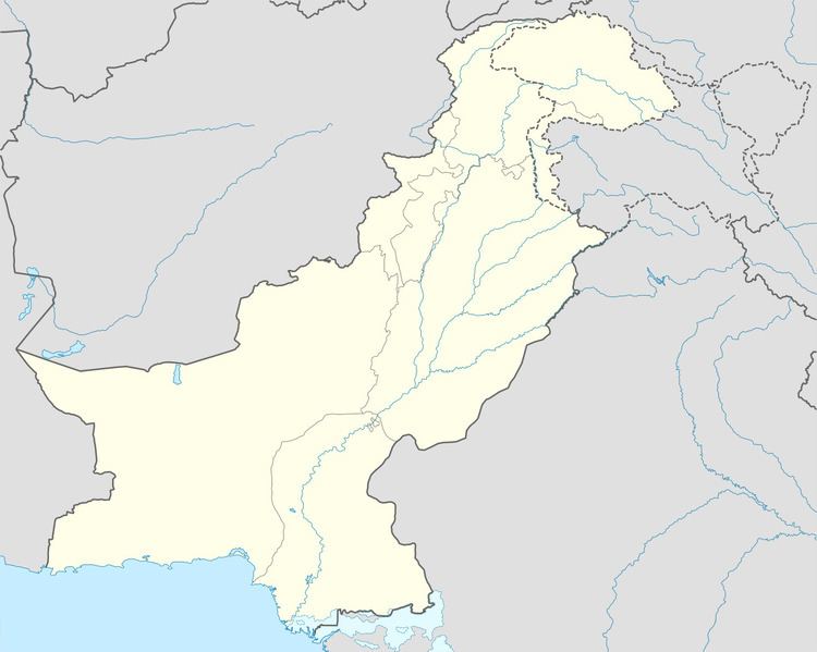
Map of Gujar Khan, Pakistan
Gujar Khan is approximately 55 kilometres southeast of Islamabad, the capital of Pakistan and 220 km to the north west of Lahore, capital of Punjab. It is bounded on the north by Rawalpindi, Islamabad and Attock, on the south by Jhelum, Lahore and Gujrat, on the east by Azad Kashmir and Kahuta and on the west by Chakwal and Khushab.
Located in the heart of the Potohar region, The city and surrounding region is renowned for its martial culture and is sometimes referred to as the 'Land of the Shaheed', having produced two recipients of the Nishan-i-Haider.
There is a main district hospital in the center of the city, along with many other private and public medical and care services.
Travel vlogs 2017 gujar khan pakistan by asmar hussain
History
The place was named after the Gujar. who were the rulers of the Gurjara-Pratihara Kingdom, ruling for centuries during the late classical period.
The Delhi Sultanate and later Mughal Empire ruled the region. The Punjab region became predominantly Muslim during this time primarily due to Sufi saints whose dargahs dot the landscape of Punjab region. The Mughal Empire later fell into a deep decline at which point the Sikh Empire invaded and occupied Rawalpindi District. Eventually the Sikh Empire collapsed and the British began direct rule in the region until independence in 1947.
Gujar Khan also contained a notable Hindu and Sikh population, though much of this population either converted to Islam during British rule, or migrated to India following partition. However the area is still home to Hindu temples and Sikh Gurdwaras which have been maintained through the years by residents of the area.
Administration
Gujar Khan is administratively subdivided into 36 Union Councils; whereas City Gujar Khan is administered by Municipal Corporation
According to the 1998 census of Pakistan, the city had a population of 57,099.
Road
Gujar Khan is located on the N5 National highway from Islamabad-Lahore. Railway Road links from the east of the city to the nearby towns of Bewal and Islampura. There are also many other minor roads linking the villages and towns of the region to the city.
Rail
Gujar khan railway station is located in the center of the city and provides links to Rawalpindi, Jhelum, and Lahore.
Bus
Local services also provide extensive bus routes around the local towns, and smaller shuttles go around the villages in the surrounding area. There are also services to Rawalpindi, Islamabad, Jhelum, and Lahore.
Local Auto-Rickshaw drivers also provide transport for people in and around the city.