
Area rank 71 in Norway Area 1,281 km² Local time Saturday 9:53 PM | County Telemark Administrative centre Moland Demonym(s) Fyresdøl Population 1,347 (2004) | |
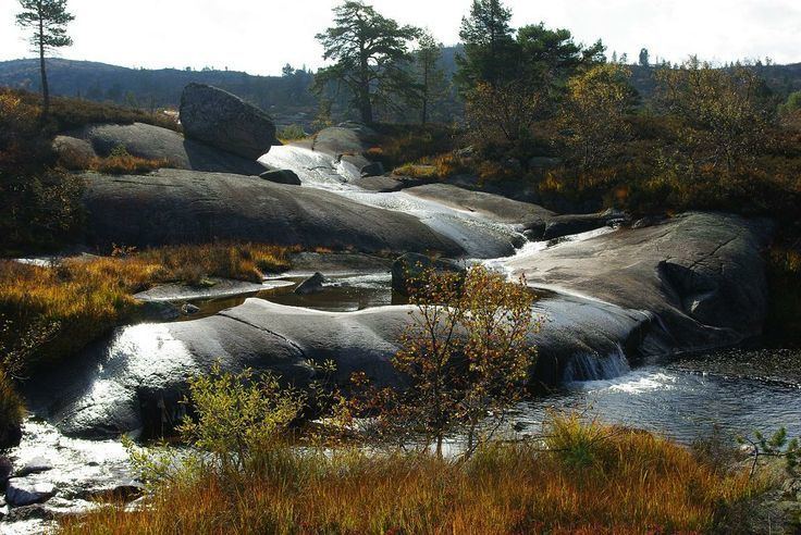 | ||
Weather -3°C, Wind N at 5 km/h, 60% Humidity Points of interest Fyresdal Bygdemuseum, Molandstranda, Kilengsto, Ukvitstrånda, Valebjørg | ||
Fyresdal is a municipality in Telemark county, Norway. It is part of the traditional region of Vest-Telemark. The administrative centre of the municipality is the village of Moland. The municipality of Moland was established on 1 January 1838 (see formannskapsdistrikt). In 1879, the name was changed to Fyresdal.
Contents
- Map of Fyresdal Municipality 3870 Norway
- Name
- Coat of arms
- History
- Economy
- Transportation
- Geography
- Neighbourhoods in Fyresdal
- Attractions
- Notable natives
- References
Map of Fyresdal Municipality, 3870, Norway
Name
The Old Norse form of the name was Fyrisdalr. The first element is the genitive case of the name of the lake Fyrir (now called Fyresvatn). The last element is dalr which means "valley" or "dale". The name of the lake is derived from the word fura which means "pine tree". Prior to 1879, the municipality was called Moland.
Coat-of-arms
The coat-of-arms is from modern times. They were granted in 1992. The arms show two silver-colored broadaxes on a green background. It was chosen to represent the forestry work in the municipality.
History
Fyresdal is known for its many findings from the Viking Age, its mighty Viking graves, heaps of slag, and the former pilgrim church that once stood proudly north of the village centre. People travelled to this church from all over Norway and even from Europe. It was said that the stream running behind the church had healing powers.
A few miles south of the site where the Heggland Pilgrim Church (Norwegian: Heggland Kyrkje), once stood at Molandsmoen, a stone with Runic inscriptions can be found. This is a reminder from the Viking Age when horse battles were held there. Originally, one believes, there were four of them. Klokkarhamaren is a little mountain on a peninsula in the municipal centre, and it is the location of a cave called Munkhola. It is believed that a certain number of monks in Medieval times resided, held masses, and sought refuge here.
Economy
Most people in the municipality work in the fields of agriculture, forestry, trade, industry and tourism. There are not many full-time farmers left in Fyresdal, but many people derive a secondary income from agriculture and forestry.
The largest employer in the municipality is Telemark Kildevann which makes bottled water and soft drinks for the national and Swedish markets. There are also a few small high-competence mechanical factories which produce parts for the offshore industry.
Transportation
The Vest-Telemark airport, Fyresdal is located in Moland, with a nearby hotel. This is a joint operation under the name Airparc Fyresdal.
Fyresdal has bus connections with the city centres of Skien and Porsgrunn in Telemark county; Arendal in Aust-Agder county; Bergen in Hordaland county; Haugesund in Rogaland county; and to the capital, Oslo. A bus also travels between Fyresdal and Dalen, the municipal centre of Tokke, every school day of the year.
Geography
The municipality of Fyresdal consists of several little villages north of the municipal centre, in the main valley of Fyresdal, and on the western and southeastern shores of Fyresvatn (Lake Fyresdal), one of Norway's deepest lakes. The municipal centre of Fyresdal is Moland. This is the location of the municipal assembly, the school, the community house, kindergartens, the home for the elderly, and most of the commercial enterprises in the village. Moland is the most heavily populated aea of Fyresdal.
Fyresdal is among the westernmost municipalities in Telemark. It borders the municipalities of Tokke, Kviteseid, and Nissedal in Telemark county. It also shares borders with the municipalities of Åmli, Bygland, and Valle in Aust-Agder county.