Country United States Elevation 282 m Local time Wednesday 8:31 PM | GNIS feature ID 453800 Area 40.35 km² Population 570 (2010) | |
 | ||
Weather 9°C, Wind E at 21 km/h, 57% Humidity | ||
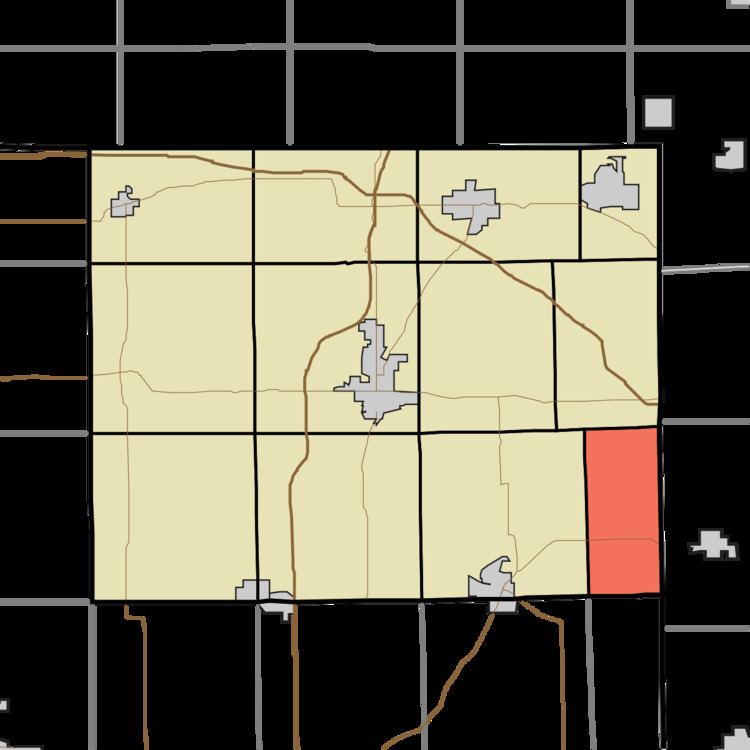
Richland Township is one of twelve townships in Steuben County, Indiana, United States. As of the 2010 census, its population was 570 and it contained 187 housing units, making it the smallest township in the county.
Contents
- Map of Richland Township IN USA
- Geography
- Unincorporated towns
- Cemeteries
- Major highways
- History
- Notable native
- References
Map of Richland Township, IN, USA
Geography
According to the 2010 census, the township has a total area of 15.58 square miles (40.4 km2), all land, second smallest after Clear Lake township.
Unincorporated towns
Cemeteries
The township contains five cemeteries: Alvarado, Amish, Metz, Mount Pleasant, and Bethel.
Major highways
History
The first land registration was made by John Douglas on October 11, 1835 but Robert Jackman and family were the first to settle in the township, in 1836. The 1840 census shows only 16 families, including those of Douglas and Jackman.
Much of this early community was centered on what came to be the village of Richland Center, where a log cabin schoolhouse as well as a Methodist church were built in 1850. When this village, which was never incorporated, organized a U. S. post office, there was already an Indiana post office named "Richland Center", so this post office was named "Alvardo", which eventually became the name for the village. Like the rest of Richland township, Alvarado slowly lost population during the 20th century and, in the 21st century, is a small collection of dwellings, farm buildings, and the Alvarado United Methodist Church.
