
Country United States GNIS feature ID 453293 Area 105.2 km² Population 2,630 (2010) | ZIP codes 47842, 47863, 47885 Elevation 192 m Local time Thursday 10:27 PM | |
 | ||
Weather 7°C, Wind NE at 16 km/h, 68% Humidity | ||
Fayette Township is one of twelve townships in Vigo County, Indiana, United States. As of the 2010 census, its population was 2,630 and it contained 1,099 housing units.
Contents
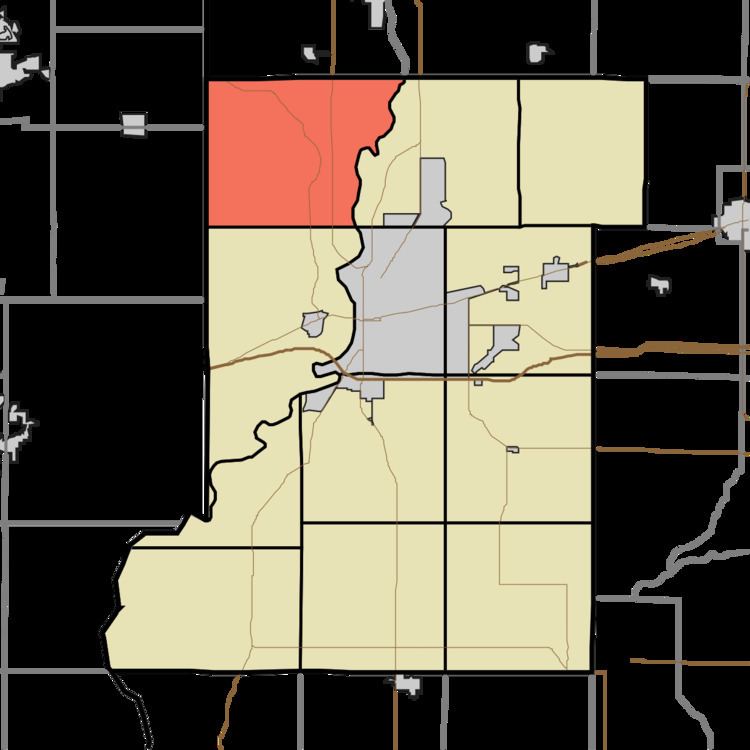
- Map of Fayette Township IN USA
- Geography
- Adjacent townships
- Unincorporated communities
- Cemeteries
- Rivers
- School districts
- Political districts
- References
Map of Fayette Township, IN, USA
Geography
According to the 2010 census, the township has a total area of 40.61 square miles (105.2 km2), of which 40 square miles (100 km2) (or 98.50%) is land and 0.62 square miles (1.6 km2) (or 1.53%) is water.
Adjacent townships
Unincorporated communities
Cemeteries
The township contains these two cemeteries: Barbour and Pleasantview.
Rivers
School districts
Political districts
References
Fayette Township, Vigo County, Indiana Wikipedia(Text) CC BY-SA