
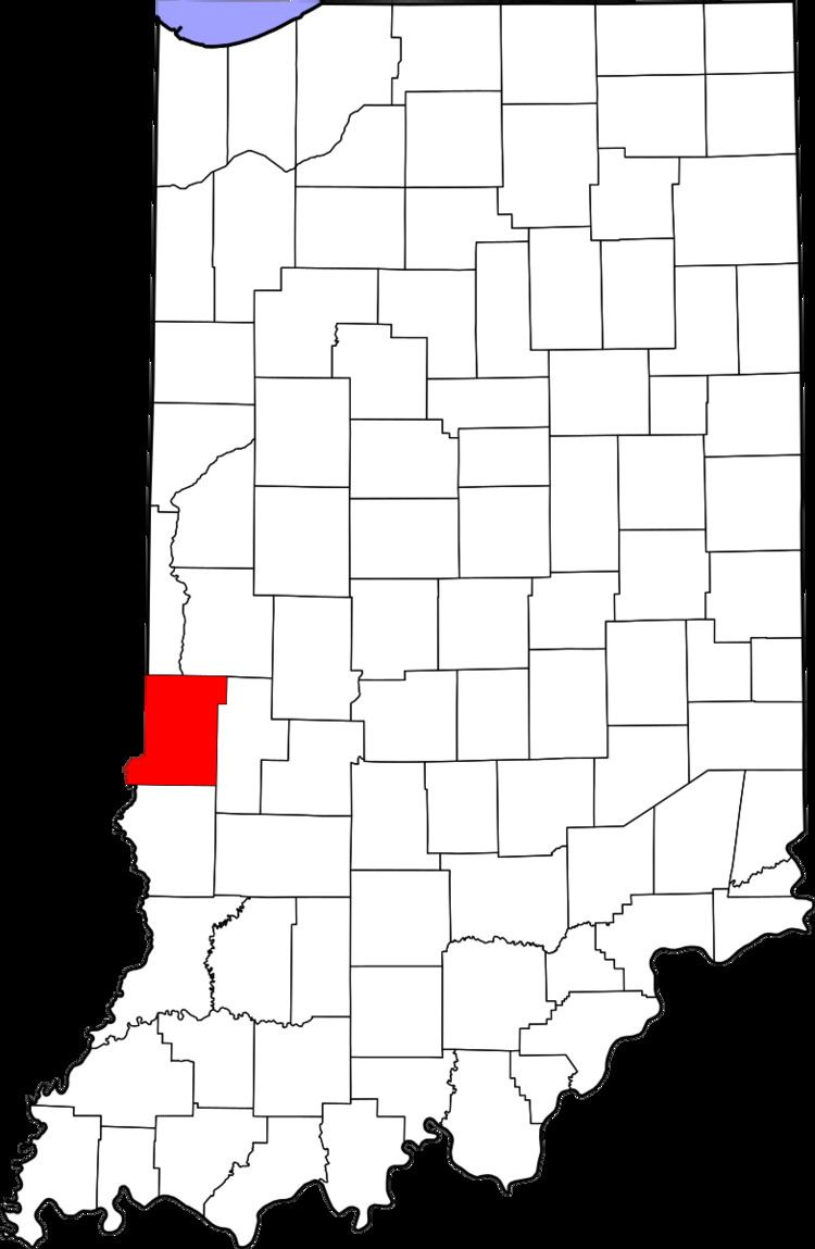
Country United States County Vigo Time zone Eastern (EST) (UTC-5) Elevation 198 m Local time Tuesday 5:00 AM | State Indiana Area code(s) 812 Zip code 47885 | |
 | ||
Weather 7°C, Wind N at 14 km/h, 82% Humidity | ||
Sandford is an unincorporated community in Fayette Township, Vigo County, in the U.S. state of Indiana.
Contents
Map of Sandford, IN 47885, USA
The community is part of the Terre Haute Metropolitan Statistical Area.
History
Sandford was established in 1854 at the state line between Illinois and Indiana. With the building of the Indianapolis & St. Louis Railroad, it became an important town in the area. In 1890 it had a population of approximately 250.
A post office was established at Sandford in 1855, and remained in operation until it was discontinued in 1995.
Geography
Sandford is located at 39°32′43″N 87°31′50″W.
References
Sandford, Indiana Wikipedia(Text) CC BY-SA