
Country United States Time zone CST (UTC-6) Elevation 203 m Zip code 61944 Population 481 (2010) | Established November 4, 1856 GNIS feature ID 0429804 Area 64.2 km² Local time Tuesday 11:02 PM | |
 | ||
Weather 8°C, Wind N at 13 km/h, 81% Humidity | ||
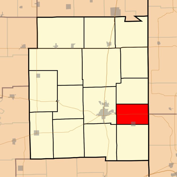
Stratton Township is one of fifteen townships in Edgar County, Illinois, USA. As of the 2010 census, its population was 481 and it contained 230 housing units. The name of the township was Wayne Township until May 9, 1857.
Contents
- Map of Stratton Township IL 61944 USA
- Geography
- Cities towns villages
- Extinct towns
- Cemeteries
- Major highways
- School districts
- Political districts
- References
Map of Stratton Township, IL 61944, USA
Geography
According to the 2010 census, the township has a total area of 24.8 square miles (64 km2), all land.
Cities, towns, villages
Extinct towns
Cemeteries
The township contains these three cemeteries: Blackburn, Little Grove and Pryor. There have been records found for Oak Grove, Whalen, and Wilkins.
Major highways
School districts
Political districts
References
Stratton Township, Edgar County, Illinois Wikipedia(Text) CC BY-SA