
Country United States Elevation 489 ft (149 m) Local time Friday 3:20 AM | GNIS feature ID 453398 Population 51,272 (2010) | |
 | ||
ZIP codes 47802, 47803, 47804, 47805, 47807 Weather 3°C, Wind SE at 13 km/h, 55% Humidity Points of interest Deming Park, Terre Haute Children, Collett Park, CANDLES Holocaust Museum, Vigo County Historical | ||
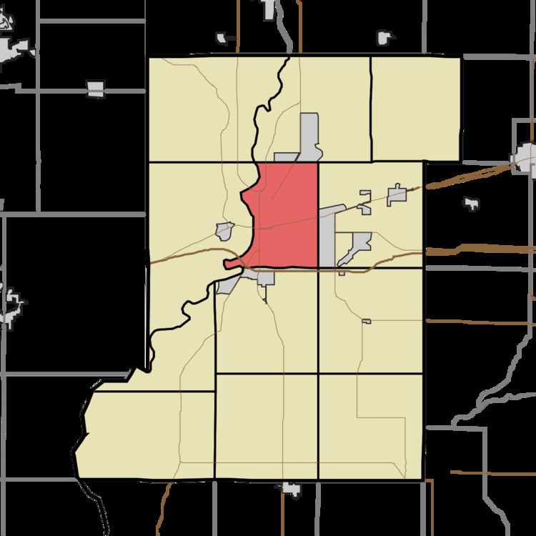
Harrison Township is one of twelve townships in Vigo County, Indiana, United States. As of the 2010 census, its population was 51,272 and it contained 22,940 housing units. It is entirely contained in Terre Haute's city limits, thus explaining why it is both the most densely populated and the most populated overall.
Contents
- Map of Harrison Township IN USA
- Geography
- Cities and towns
- Unincorporated communities
- Boundaries
- Adjacent townships
- Cemeteries
- Lakes
- Demographics
- School districts
- Political districts
- References
Map of Harrison Township, IN, USA
Geography
According to the 2010 census, the township has a total area of 23.54 square miles (61.0 km2), of which 23.03 square miles (59.6 km2) (or 97.83%) is land and 0.51 square miles (1.3 km2) (or 2.17%) is water.
Cities and towns
Unincorporated communities
Boundaries
The boundaries consist of the following streets or features:
Adjacent townships
Cemeteries
The township contains these four cemeteries: Calvary, Grandview, Rogers and Woodlawn.
Lakes
Demographics
As of the census of 2000, there are 51,898 people and 20,618 households residing in the township. The population density is 2,262/mi². The racial makeup of the township is 86.8% White, 9.3% Black or African American, 0.3% Native American, 1.0% Asian, less than 0.1% Pacific Islander, 0.5% from other races, and 2.0% from two or more races. 1.2% of the population are Hispanic or Latino of any race.
The average household size is 2.29 and the average family size is 2.96. The median age is 31.6 years. For every 100 females there are 89 males.
The median income for a household in the township is $26,705, and the median income for a family is $35,135. The per capita income for the township is $14,540. 20.6% of the population and 16.4% of families are below the poverty line.
School districts
This township is served by the Vigo County School Corporation. Several schools are located in this township: