
Country United States Time zone Eastern (EST) (UTC-5) Elevation 171 m Area code 812 | State Indiana GNIS feature ID 444612 Zip code 47885 | |
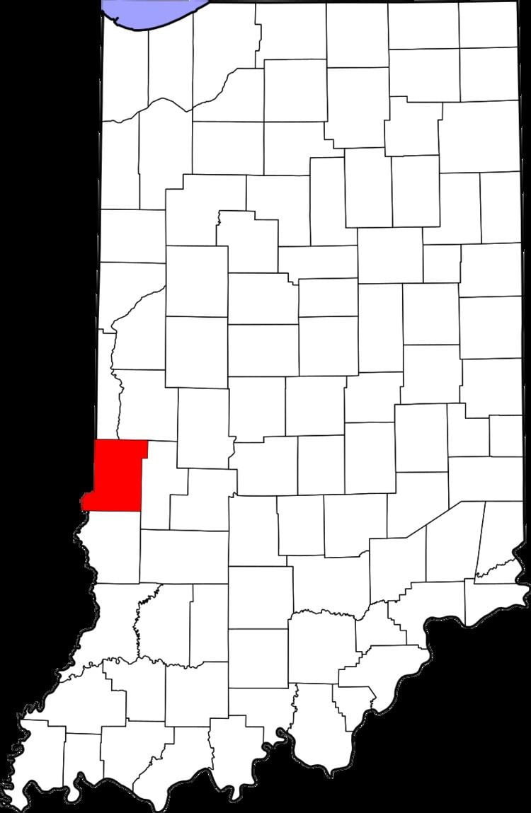 | ||
Tecumseh is an unincorporated census-designated place in eastern Fayette Township, Vigo County, in the U.S. state of Indiana. It is part of the Terre Haute metropolitan area.
Contents
Map of Tecumseh, IN 47885, USA
The town is named for Tecumseh, the Native American leader of the Shawnee who fought General William Henry Harrison at Fort Harrison, only a mile south of the town of Tecumseh.
History
Located on the Wabash River, Tecumseh was once known as Durkee's Ferry. In 1890 it was merely a post-office with five or six houses. Durkee's Ferry was once one of the main crossing points on the Wabash River.
A post office was established at Tecumseh in 1882, and remained in operation until it was discontinued in 1907.
Geography
Tecumseh is located at 39°33′47″N 87°25′18″W at an elevation of 561 feet.
References
Tecumseh, Indiana Wikipedia(Text) CC BY-SA