
Country United States GNIS feature ID 453699 Area 92.23 km² Population 9,069 (2010) | ZIP codes 47805, 47874 Elevation 155 m Local time Monday 7:00 PM | |
 | ||
Weather 16°C, Wind NE at 8 km/h, 83% Humidity | ||
Otter Creek Township is one of twelve townships in Vigo County, Indiana, United States. As of the 2010 census, its population was 9,069 and it contained 3,917 housing units.
Contents
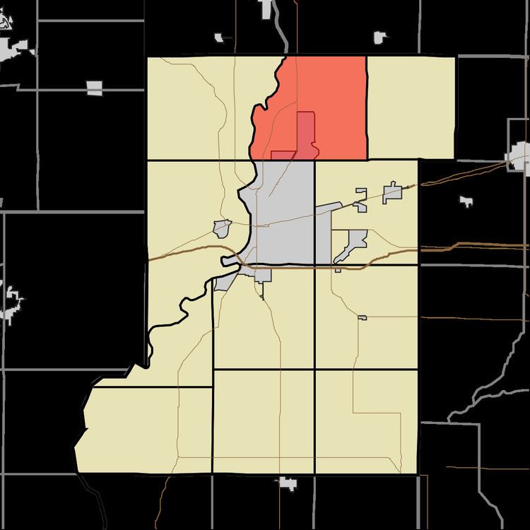
- Map of Otter Creek Township IN USA
- History
- Geography
- Cities towns villages
- Unincorporated communities
- Adjacent townships
- Cemeteries
- Airports and landing strips
- School districts
- Political districts
- References
Map of Otter Creek Township, IN, USA
History
Markle House and Mill Site was listed on the National Register of Historic Places in 1979.
Geography
According to the 2010 census, the township has a total area of 35.61 square miles (92.2 km2), of which 35.24 square miles (91.3 km2) (or 98.96%) is land and 0.37 square miles (0.96 km2) (or 1.04%) is water.
Cities, towns, villages
Unincorporated communities
Adjacent townships
Cemeteries
The township contains ten cemeteries: Denny, Evans, Haven, Kennedy, Markles, Phillips, Roselawn Memorial Park, Steveson, Stewart and Wood.
Airports and landing strips
School districts
Political districts
References
Otter Creek Township, Vigo County, Indiana Wikipedia(Text) CC BY-SA